Whangataura Bay Area, Whangataura Bay Postcode & Map in Whangataura Bay
Whangataura Bay Area, Whangataura Bay Postcode & Map in Whangataura Bay, Marlborough District, New Zealand
Whangataura Bay, Marlborough District, New Zealand
Whangataura Bay Area (estimated)
0.5 square kilometersWhangataura Bay Population (estimated)
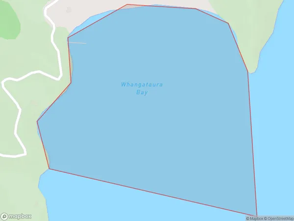
0 people live in Whangataura Bay, Marlborough, NZWhangataura Bay Suburb Area Map (Polygon)
Whangataura Bay Introduction
Whangataura Bay is a large, shallow bay in the Marlborough region of New Zealand's South Island. It is known for its warm, clear waters and is a popular spot for swimming, boating, and fishing. The bay is also home to a variety of wildlife, including penguins, seals, and dolphins.Region
Suburb Name
Whangataura BayOther Name(s)
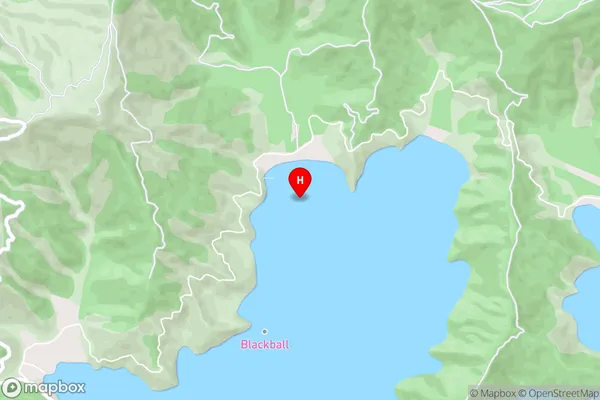
Port Underwood, Cook StraitWhangataura Bay Area Map (Street)
Local Authority
Marlborough DistrictFull Address
Whangataura Bay, Marlborough District, New ZealandAddress Type
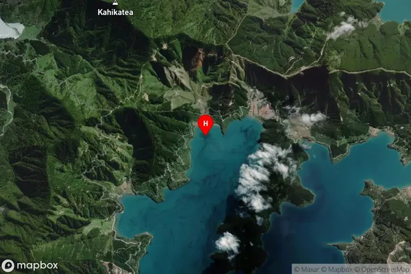
Coastal BayWhangataura Bay Suburb Map (Satellite)
Country
Main Region in AU
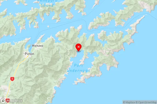
MarlboroughWhangataura Bay Region Map
Coordinates
-41.2872613,174.1357536 (latitude/longitude)Distances
The distance from Whangataura Bay, , Marlborough District to NZ Top 10 Cities