Whangaroa Inlet Area, Whangaroa Inlet Postcode(3010) & Map in Whangaroa Inlet
Whangaroa Inlet Area, Whangaroa Inlet Postcode(3010) & Map in Whangaroa Inlet, Rotorua District, New Zealand
Whangaroa Inlet, Rotorua District, New Zealand
Whangaroa Inlet Postcodes
Whangaroa Inlet Area (estimated)
0.2 square kilometersWhangaroa Inlet Population (estimated)
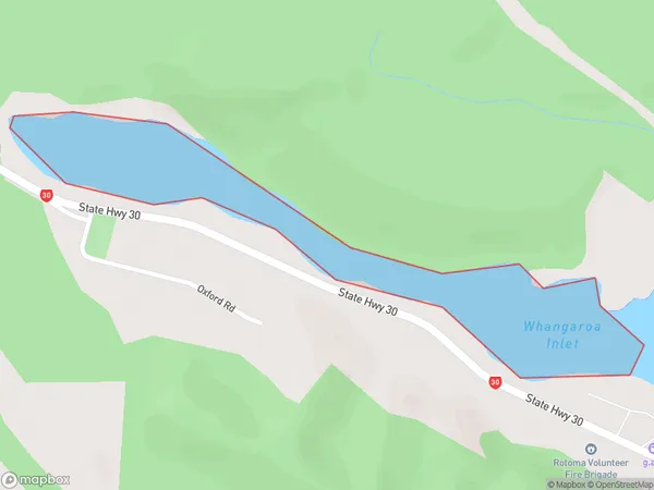
0 people live in Whangaroa Inlet, Bay of Plenty, NZWhangaroa Inlet Suburb Area Map (Polygon)
Whangaroa Inlet Introduction
Whangaroa Inlet is located in the Bay of Plenty region of New Zealand. It is known for its stunning natural beauty, including rugged cliffs, crystal-clear waters, and diverse marine life. The inlet is a popular destination for boaters, kayakers, and divers, with several boat ramps and access points. It is also home to the Whangaroa Island Marine Reserve, which is a protected area that encompasses a large portion of the inlet and its surrounding waters.Region
Suburb Name
Whangaroa InletOther Name(s)
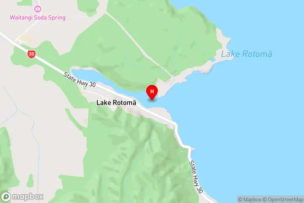
Lake Rotoma (Maori Name: Lake Rotomā)Whangaroa Inlet Area Map (Street)
Local Authority
Rotorua DistrictFull Address
Whangaroa Inlet, Rotorua District, New ZealandAddress Type
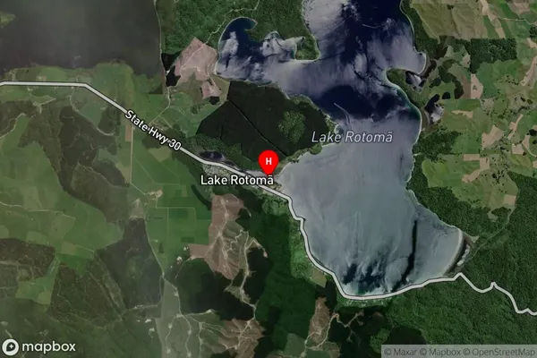
Inland BayWhangaroa Inlet Suburb Map (Satellite)
Country
Main Region in AU
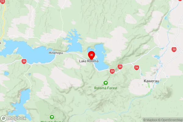
Bay of PlentyWhangaroa Inlet Region Map
Coordinates
-38.0503569,176.5685263 (latitude/longitude)Distances
The distance from Whangaroa Inlet, , Rotorua District to NZ Top 10 Cities