Whangarae Bay Area, Whangarae Bay Postcode & Map in Whangarae Bay
Whangarae Bay Area, Whangarae Bay Postcode & Map in Whangarae Bay, Marlborough District, New Zealand
Whangarae Bay, Marlborough District, New Zealand
Whangarae Bay Area (estimated)
3.9 square kilometersWhangarae Bay Population (estimated)
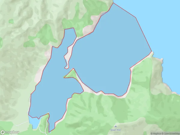
0 people live in Whangarae Bay, Marlborough, NZWhangarae Bay Suburb Area Map (Polygon)
Whangarae Bay Introduction
Whangarae Bay is a large, shallow, and safe bay located in the Marlborough region of New Zealand's North Island. It is known for its beautiful beaches, clear waters, and diverse marine life, including whales, dolphins, and seals. The bay is also a popular spot for fishing, kayaking, and sailing. It is surrounded by picturesque farmland and has a peaceful, rural atmosphere.Region
Suburb Name
Whangarae BayOther Name(s)
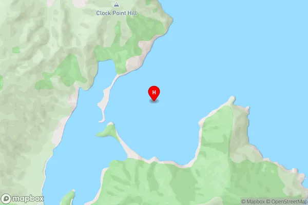
Croisilles HarbourWhangarae Bay Area Map (Street)
Local Authority
Marlborough DistrictFull Address
Whangarae Bay, Marlborough District, New ZealandAddress Type
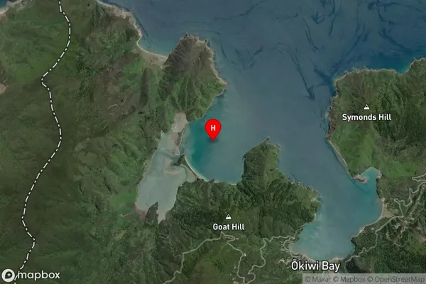
Coastal BayWhangarae Bay Suburb Map (Satellite)
Country
Main Region in AU
MarlboroughWhangarae Bay Region Map

Coordinates
-41.0895497,173.6333563 (latitude/longitude)Distances
The distance from Whangarae Bay, , Marlborough District to NZ Top 10 Cities