Whangape Harbour Area, Whangape Harbour Postcode & Map in Whangape Harbour
Whangape Harbour Area, Whangape Harbour Postcode & Map in Whangape Harbour, Far North District, New Zealand
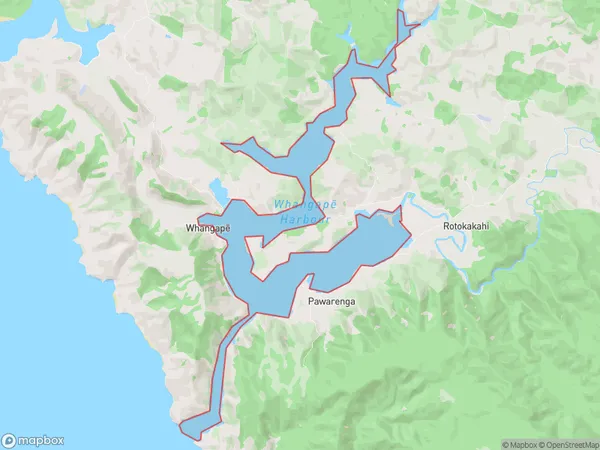
Whangape Harbour, Far North District, New Zealand
Whangape Harbour Area (estimated)
11.8 square kilometersWhangape Harbour Population (estimated)
0 people live in Whangape Harbour, Te Hiku Community, NZWhangape Harbour Suburb Area Map (Polygon)
Whangape Harbour Introduction
Whangape Harbour is a small harbor located in the Northland region of New Zealand. It is known for its scenic beauty and is a popular destination for fishing and boating. The harbor is surrounded by rugged cliffs and has a peaceful atmosphere. It is also home to a small community of people who live in the surrounding area.Region
Major City
Suburb Name
Whangape Harbour (Maori Name: Whangapē Harbour)Whangape Harbour Area Map (Street)

Local Authority
Far North DistrictFull Address
Whangape Harbour, Far North District, New ZealandAddress Type
Coastal BayWhangape Harbour Suburb Map (Satellite)

Country
Main Region in AU
NorthlandWhangape Harbour Region Map

Coordinates
-35.3293866,173.226116902541 (latitude/longitude)Distances
The distance from Whangape Harbour, , Far North District to NZ Top 10 Cities