Whanganuioparua Inlet Area, Whanganuioparua Inlet Postcode(4108) & Map in Whanganuioparua Inlet
Whanganuioparua Inlet Area, Whanganuioparua Inlet Postcode(4108) & Map in Whanganuioparua Inlet, Wairoa District, New Zealand
Whanganuioparua Inlet, Wairoa District, New Zealand
Whanganuioparua Inlet Postcodes
Whanganuioparua Inlet Area (estimated)
2.1 square kilometersWhanganuioparua Inlet Population (estimated)
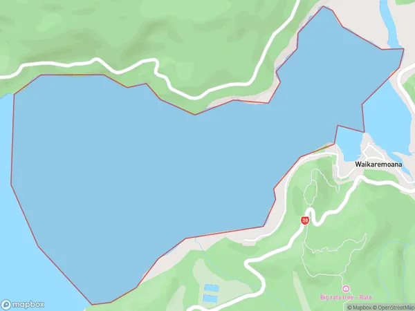
0 people live in Whanganuioparua Inlet, Hawke's Bay, NZWhanganuioparua Inlet Suburb Area Map (Polygon)
Whanganuioparua Inlet Introduction
Whanganuioparua Inlet is a large inlet of the Pacific Ocean located in the northern region of Hawke's Bay, New Zealand. It is known for its scenic beauty, including rugged cliffs, sandy beaches, and a variety of wildlife. The inlet is also a popular destination for water sports such as kayaking, sailing, and fishing.Region
Suburb Name
Whanganuioparua InletOther Name(s)
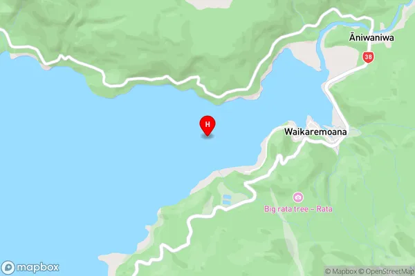
Lake WaikaremoanaWhanganuioparua Inlet Area Map (Street)
Local Authority
Wairoa DistrictFull Address
Whanganuioparua Inlet, Wairoa District, New ZealandAddress Type
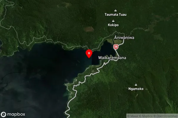
Inland BayWhanganuioparua Inlet Suburb Map (Satellite)
Country
Main Region in AU
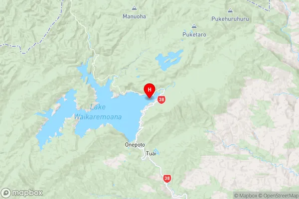
Hawke's BayWhanganuioparua Inlet Region Map
Coordinates
-38.7546298,177.14266 (latitude/longitude)Distances
The distance from Whanganuioparua Inlet, , Wairoa District to NZ Top 10 Cities