Whangamata Bay Area, Whangamata Bay Postcode(3330) & Map in Whangamata Bay
Whangamata Bay Area, Whangamata Bay Postcode(3330) & Map in Whangamata Bay, Taupo District, New Zealand
Whangamata Bay, Taupo District, New Zealand
Whangamata Bay Postcodes
Whangamata Bay Area (estimated)
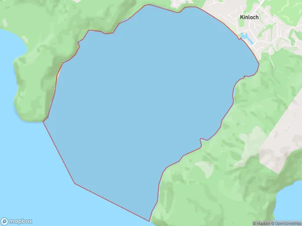
14.1 square kilometersWhangamata Bay Population (estimated)
0 people live in Whangamata Bay, Waikato, NZWhangamata Bay Suburb Area Map (Polygon)
Whangamata Bay Introduction
Whangamata Bay is a popular holiday destination in Waikato, New Zealand. It is known for its sandy beaches, clear waters, and stunning coastal scenery. The bay is also home to a variety of marine life, including dolphins, whales, and seals. Visitors can enjoy swimming, surfing, fishing, and hiking in the area, as well as exploring the nearby Whangamata Forest. The bay has a rich history and was once home to a thriving Maori community. It is also a popular filming location, with several movies and TV shows being shot in the area.Region
Major City
Suburb Name
Whangamata BayOther Name(s)
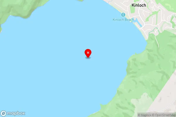
Western Bay, Lake Taupo (Taupomoana)Whangamata Bay Area Map (Street)
Local Authority
Taupo DistrictFull Address
Whangamata Bay, Taupo District, New ZealandAddress Type
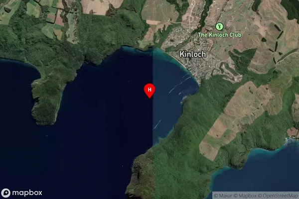
Inland BayWhangamata Bay Suburb Map (Satellite)
Country
Main Region in AU
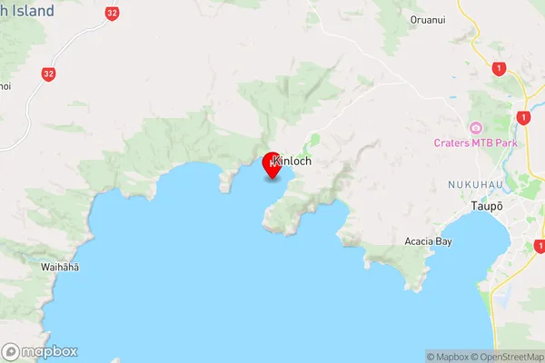
WaikatoWhangamata Bay Region Map
Coordinates
-38.6722371,175.9075018 (latitude/longitude)Distances
The distance from Whangamata Bay, , Taupo District to NZ Top 10 Cities