Whangakoko Bay Area, Whangakoko Bay Postcode & Map in Whangakoko Bay
Whangakoko Bay Area, Whangakoko Bay Postcode & Map in Whangakoko Bay, Marlborough District, New Zealand
Whangakoko Bay, Marlborough District, New Zealand
Whangakoko Bay Area (estimated)
0.4 square kilometersWhangakoko Bay Population (estimated)
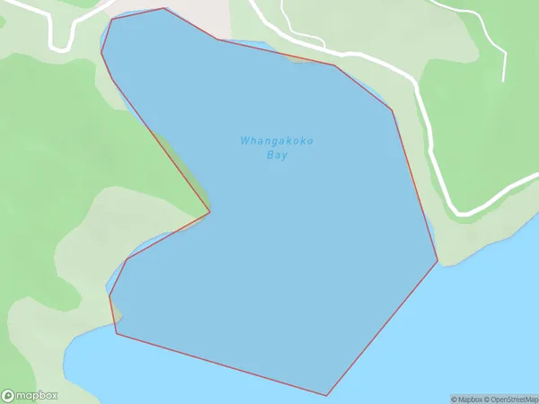
0 people live in Whangakoko Bay, Marlborough, NZWhangakoko Bay Suburb Area Map (Polygon)
Whangakoko Bay Introduction
Whangakoko Bay is a hidden gem in Marlborough, New Zealand. It is a peaceful and picturesque bay surrounded by lush green hills and native forests. The bay is known for its clear waters and stunning marine life, including dolphins, whales, and seals. Visitors can enjoy a range of activities, such as kayaking, fishing, and hiking, or simply relax on the beach and soak up the sun. The bay is also home to a historic pa site, which provides insight into the local Maori culture and history.Region
Suburb Name
Whangakoko BayOther Name(s)
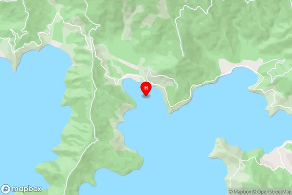
Port Underwood, Cook StraitWhangakoko Bay Area Map (Street)
Local Authority
Marlborough DistrictFull Address
Whangakoko Bay, Marlborough District, New ZealandAddress Type
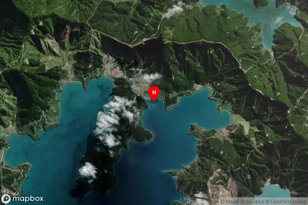
Coastal BayWhangakoko Bay Suburb Map (Satellite)
Country
Main Region in AU
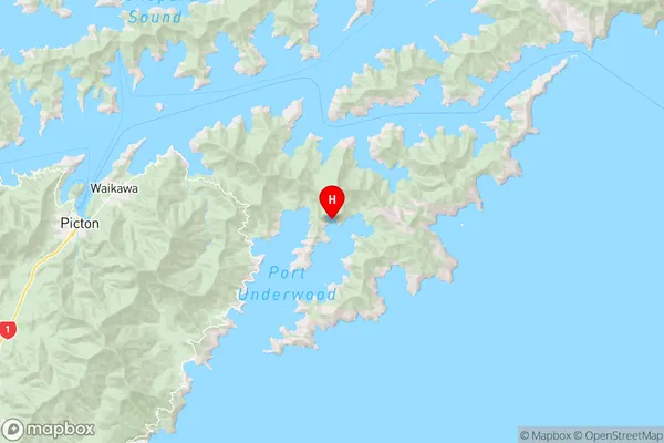
MarlboroughWhangakoko Bay Region Map
Coordinates
-41.2901068,174.1634158 (latitude/longitude)Distances
The distance from Whangakoko Bay, , Marlborough District to NZ Top 10 Cities