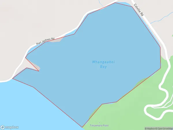
Whangaahei Bay Area, Whangaahei Bay Postcode(3584) & Map in Whangaahei Bay
Whangaahei Bay Area, Whangaahei Bay Postcode(3584) & Map in Whangaahei Bay, Thames-Coromandel District, New Zealand
Whangaahei Bay, Thames-Coromandel District, New Zealand
Whangaahei Bay Postcodes
Whangaahei Bay Area (estimated)
0.4 square kilometersWhangaahei Bay Population (estimated)
0 people live in Whangaahei Bay, Waikato, NZWhangaahei Bay Suburb Area Map (Polygon)
Whangaahei Bay Introduction
Whangaahei Bay is a large, shallow bay in the northern Waikato region of New Zealand's North Island. It is located about 120 km north of Auckland and 35 km south of Whangarei. The bay is known for its clear waters, sandy beaches, and stunning coastal scenery. It is a popular destination for fishing, swimming, and boating, and is home to a number of small settlements and resorts.Region
Suburb Name
Whangaahei BayOther Name(s)
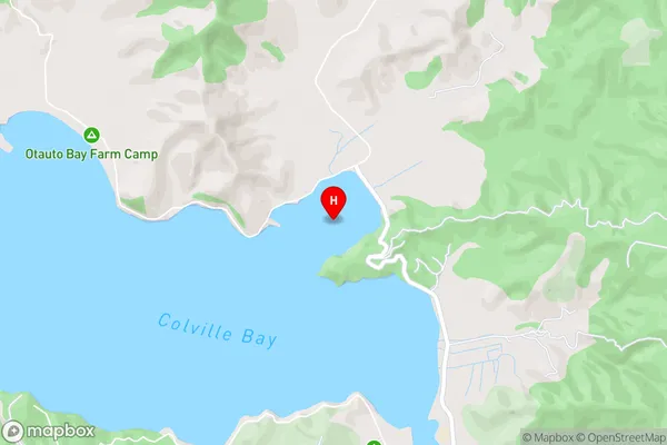
Colville Bay, Hauraki GulfWhangaahei Bay Area Map (Street)
Local Authority
Thames-Coromandel DistrictFull Address
Whangaahei Bay, Thames-Coromandel District, New ZealandAddress Type
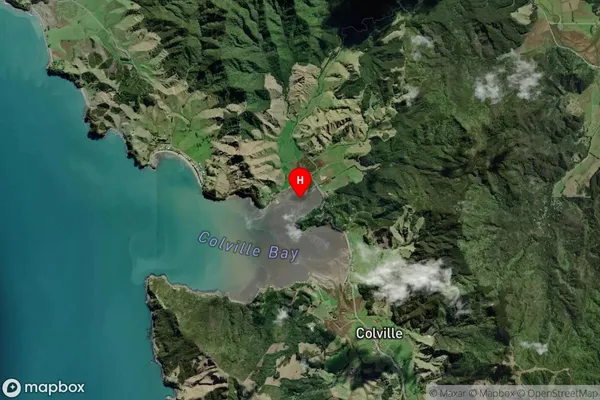
Coastal BayWhangaahei Bay Suburb Map (Satellite)
Country
Main Region in AU
WaikatoWhangaahei Bay Region Map

Coordinates
-36.6152863,175.4636979 (latitude/longitude)Distances
The distance from Whangaahei Bay, , Thames-Coromandel District to NZ Top 10 Cities