Maata Area, Maata Postcode(4322) & Map in Maata
Maata Area, Maata Postcode(4322) & Map in Maata, South Taranaki District, New Zealand
Maata, South Taranaki District, New Zealand
Maata Postcodes
Maata Area (estimated)
17.7 square kilometersMaata Population (estimated)
59 people live in Maata, Taranaki, NZMaata Suburb Area Map (Polygon)
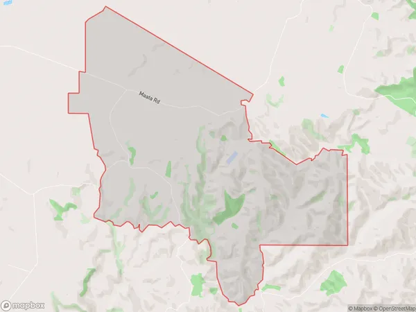
Maata Introduction
Maata is a small rural community located in the Taranaki region of New Zealand. It is situated on the banks of the Maata River and is known for its beautiful natural surroundings, including lush forests, rolling hills, and picturesque farmland. The community has a strong sense of community and is home to a variety of businesses and services, including a primary school, a post office, and a convenience store. Maata is also a popular destination for outdoor enthusiasts, with many walking and hiking trails nearby.Region
Major City
Suburb Name
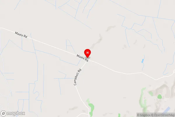
MaataMaata Area Map (Street)
Local Authority
South Taranaki DistrictFull Address
Maata, South Taranaki District, New ZealandAddress Type
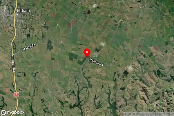
Locality in Town ElthamMaata Suburb Map (Satellite)
Country
Main Region in AU
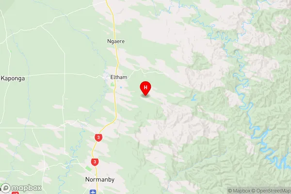
TaranakiMaata Region Map
Coordinates
-39.44993,174.3425345 (latitude/longitude)Distances
The distance from Maata, Eltham, South Taranaki District to NZ Top 10 Cities