Whakapae Bay Area, Whakapae Bay Postcode & Map in Whakapae Bay
Whakapae Bay Area, Whakapae Bay Postcode & Map in Whakapae Bay, Far North District, New Zealand
Whakapae Bay, Far North District, New Zealand
Whakapae Bay Area (estimated)
0.2 square kilometersWhakapae Bay Population (estimated)
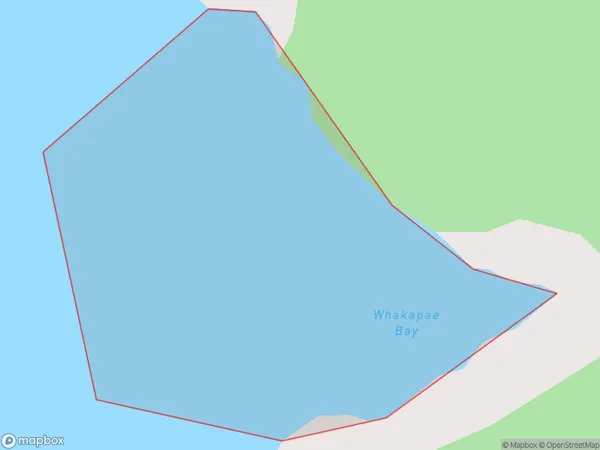
0 people live in Whakapae Bay, Bay of Islands-Whangaroa Community, NZWhakapae Bay Suburb Area Map (Polygon)
Whakapae Bay Introduction
Whakapae Bay is a small bay located in the Northland region of New Zealand. It is known for its stunning natural beauty, including rugged cliffs, pristine beaches, and crystal-clear waters. The bay is a popular spot for swimming, snorkeling, and kayaking, and is home to a variety of marine life, including dolphins, whales, and seals. The bay is also surrounded by lush forested hills, providing a peaceful and tranquil setting for visitors to enjoy.Region
Major City
Suburb Name
Whakapae BayOther Name(s)
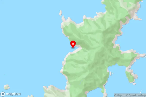
Bay Of IslandsWhakapae Bay Area Map (Street)
Local Authority
Far North DistrictFull Address
Whakapae Bay, Far North District, New ZealandAddress Type
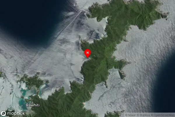
Coastal BayWhakapae Bay Suburb Map (Satellite)
Country
Main Region in AU
NorthlandWhakapae Bay Region Map

Coordinates
-35.2107742,174.2933736 (latitude/longitude)Distances
The distance from Whakapae Bay, , Far North District to NZ Top 10 Cities