Whakamoa Bay Area, Whakamoa Bay Postcode & Map in Whakamoa Bay
Whakamoa Bay Area, Whakamoa Bay Postcode & Map in Whakamoa Bay, Area outside Territorial Authority, New Zealand
Whakamoa Bay, Area outside Territorial Authority, New Zealand
Whakamoa Bay Area (estimated)
0.1 square kilometersWhakamoa Bay Population (estimated)
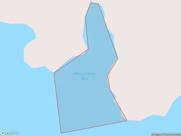
0 people live in Whakamoa Bay, Canterbury, NZWhakamoa Bay Suburb Area Map (Polygon)
Whakamoa Bay Introduction
Whakamoa Bay is a small, sheltered bay located in the Canterbury region of New Zealand. It is known for its clear waters, sandy beaches, and stunning coastal scenery. The bay is a popular spot for swimming, kayaking, and fishing, and is home to a variety of marine life, including penguins and seals. The bay is also surrounded by picturesque farmland and rural communities, making it a popular destination for tourists and locals alike.Region
Suburb Name
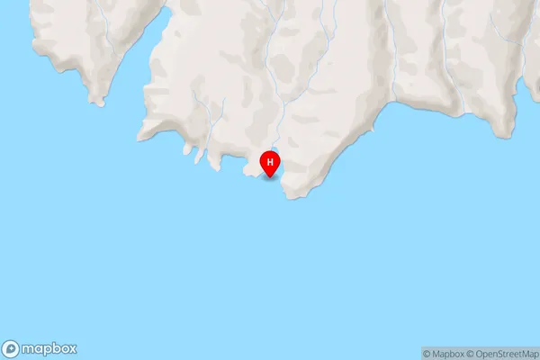
Whakamoa BayWhakamoa Bay Area Map (Street)
Local Authority
Area outside Territorial AuthorityFull Address
Whakamoa Bay, Area outside Territorial Authority, New ZealandAddress Type
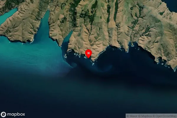
Coastal BayWhakamoa Bay Suburb Map (Satellite)
Country
Main Region in AU
CanterburyWhakamoa Bay Region Map

Coordinates
-43.8974627,172.8806323 (latitude/longitude)Distances
The distance from Whakamoa Bay, , Area outside Territorial Authority to NZ Top 10 Cities