Whakaipo Bay Area, Whakaipo Bay Postcode(3385) & Map in Whakaipo Bay
Whakaipo Bay Area, Whakaipo Bay Postcode(3385) & Map in Whakaipo Bay, Taupo District, New Zealand
Whakaipo Bay, Taupo District, New Zealand
Whakaipo Bay Postcodes
Whakaipo Bay Area (estimated)
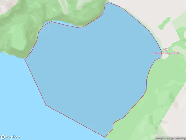
4.1 square kilometersWhakaipo Bay Population (estimated)
0 people live in Whakaipo Bay, Waikato, NZWhakaipo Bay Suburb Area Map (Polygon)
Whakaipo Bay Introduction
Whakaipo Bay is a large, shallow bay in Waikato, New Zealand. It is located about 45 km northwest of Hamilton city and is known for its clear waters and stunning coastal scenery. The bay is a popular spot for swimming, boating, and fishing, and is home to a variety of wildlife, including penguins, seals, and dolphins.Region
Suburb Name
Whakaipo BayOther Name(s)
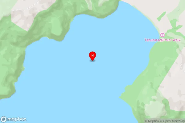
Lake Taupo (Taupomoana)Whakaipo Bay Area Map (Street)
Local Authority
Taupo DistrictFull Address
Whakaipo Bay, Taupo District, New ZealandAddress Type
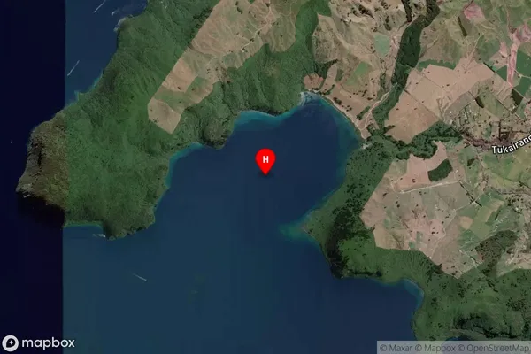
Inland BayWhakaipo Bay Suburb Map (Satellite)
Country
Main Region in AU
WaikatoWhakaipo Bay Region Map

Coordinates
-38.6954873,175.947335 (latitude/longitude)Distances
The distance from Whakaipo Bay, , Taupo District to NZ Top 10 Cities