Wet Inlet Area, Wet Inlet Postcode & Map in Wet Inlet
Wet Inlet Area, Wet Inlet Postcode & Map in Wet Inlet, Marlborough District, New Zealand
Wet Inlet, Marlborough District, New Zealand
Wet Inlet Area (estimated)
1.3 square kilometersWet Inlet Population (estimated)
0 people live in Wet Inlet, Marlborough, NZWet Inlet Suburb Area Map (Polygon)
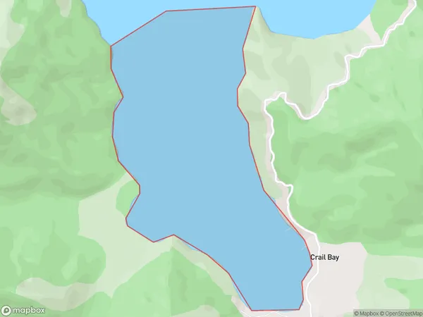
Wet Inlet Introduction
Wet Inlet is a small, shallow inlet of the Omaka River in Marlborough, New Zealand. It is known for its scenic beauty and is a popular spot for fishing, kayaking, and picnicking. The inlet is surrounded by native bush and farmland, and it is home to a variety of bird species, including kereru, tui, and pukeko. The area has a rich history of Māori settlement and was once used as a landing site for early European explorers.Region
Suburb Name
Wet InletOther Name(s)
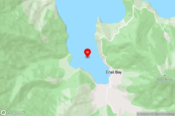
Crail Bay, Tawhitinui ReachWet Inlet Area Map (Street)
Local Authority
Marlborough DistrictFull Address
Wet Inlet, Marlborough District, New ZealandAddress Type
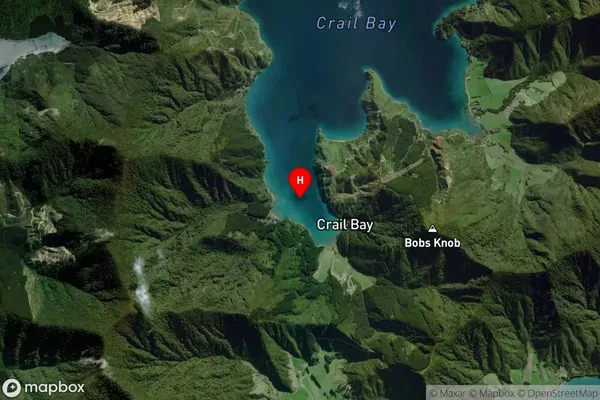
Coastal BayWet Inlet Suburb Map (Satellite)
Country
Main Region in AU
MarlboroughWet Inlet Region Map

Coordinates
-41.144544,173.9622859 (latitude/longitude)Distances
The distance from Wet Inlet, , Marlborough District to NZ Top 10 Cities