Westhaven Area, Westhaven Postcode(1011) & Map in Westhaven
Westhaven Area, Westhaven Postcode(1011) & Map in Westhaven, Auckland, New Zealand
Westhaven, Auckland, New Zealand
Westhaven Postcodes
Westhaven Area (estimated)
0.6 square kilometersWesthaven Population (estimated)
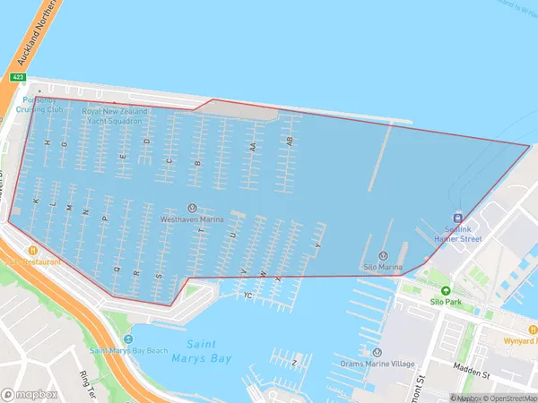
14 people live in Westhaven, Auckland, NZWesthaven Suburb Area Map (Polygon)
Westhaven Introduction
Westhaven is a suburb of Auckland, New Zealand. It is located on the western coast of the Waitemata Harbour and is known for its beautiful beaches, parks, and vibrant community. The suburb has a population of around 10,000 people and is home to a variety of housing types, including apartments, townhouses, and detached homes. Westhaven is also home to a number of popular restaurants, cafes, and retail stores, as well as a community center and library. The area is well-connected to other parts of Auckland via public transportation, and is only a short drive from the city center.Region
Major City
Suburb Name
WesthavenOther Name(s)
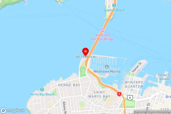
Waitemata Harbour, Hauraki Gulf (Maori Name: Waitematā Harbour, Hauraki Gulf)Westhaven Area Map (Street)
Local Authority
AucklandFull Address
Westhaven, Auckland, New ZealandAddress Type
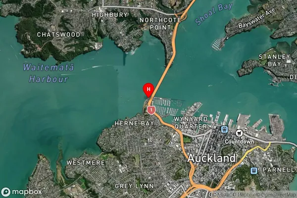
Coastal BayWesthaven Suburb Map (Satellite)
Country
Main Region in AU
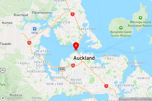
AucklandWesthaven Region Map
Coordinates
-36.8357308,174.7413668 (latitude/longitude)Distances
The distance from Westhaven, , Auckland to NZ Top 10 Cities