West Mere Area, West Mere Postcode(9643) & Map in West Mere
West Mere Area, West Mere Postcode(9643) & Map in West Mere, Southland District, New Zealand
West Mere, Southland District, New Zealand
West Mere Postcodes
West Mere Area (estimated)
0.1 square kilometersWest Mere Population (estimated)
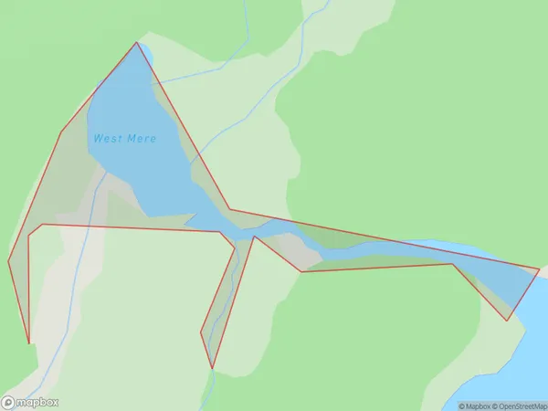
0 people live in West Mere, Fiordland Community, NZWest Mere Suburb Area Map (Polygon)
West Mere Introduction
West Mere is a small lake located in Southland, New Zealand. It is a popular spot for fishing, boating, and camping and is surrounded by stunning natural scenery. The lake is also home to a variety of bird species, including the rare and endangered New Zealand teal.Region
Major City
Suburb Name
West MereOther Name(s)
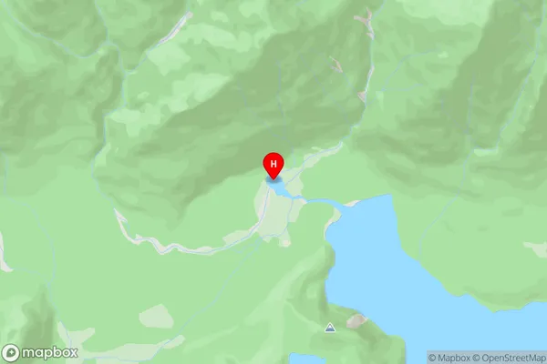
Calm Bay, Lake ManapouriWest Mere Area Map (Street)
Local Authority
Southland DistrictFull Address
West Mere, Southland District, New ZealandAddress Type
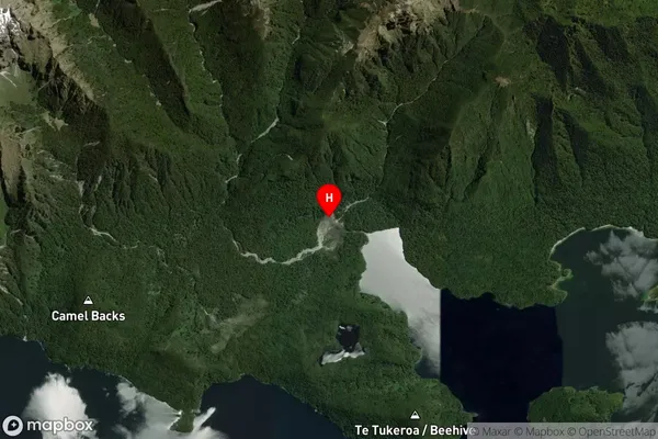
Inland BayWest Mere Suburb Map (Satellite)
Country
Main Region in AU
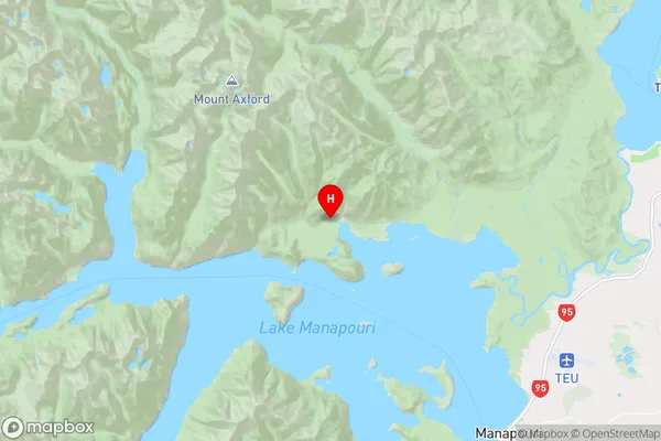
SouthlandWest Mere Region Map
Coordinates
-45.4723316,167.502329 (latitude/longitude)Distances
The distance from West Mere, , Southland District to NZ Top 10 Cities