West Bay Area, West Bay Postcode(7053) & Map in West Bay
West Bay Area, West Bay Postcode(7053) & Map in West Bay, Tasman District, New Zealand
West Bay, Tasman District, New Zealand
West Bay Postcodes
West Bay Area (estimated)
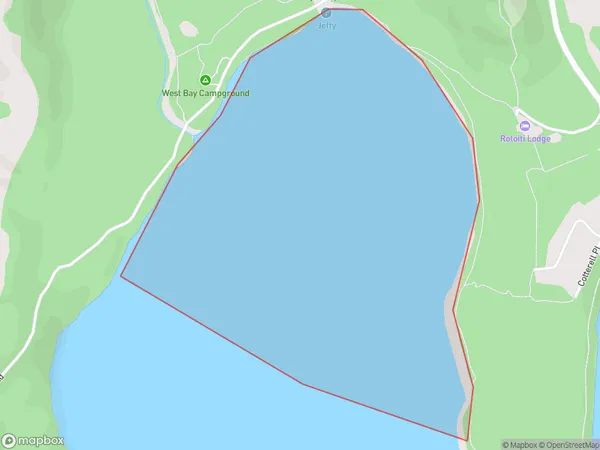
1.7 square kilometersWest Bay Population (estimated)
0 people live in West Bay, Tasman, NZWest Bay Suburb Area Map (Polygon)
West Bay Introduction
West Bay is a small coastal town in Tasman, New Zealand, located at the mouth of the West Bay River. It is known for its beautiful beaches, scenic views, and vibrant community. The town has a population of around 3,000 people and is a popular tourist destination. West Bay is also home to a number of important historical sites, including the West Bay Museum and the Old Church Cemetery.Region
Suburb Name
West BayOther Name(s)
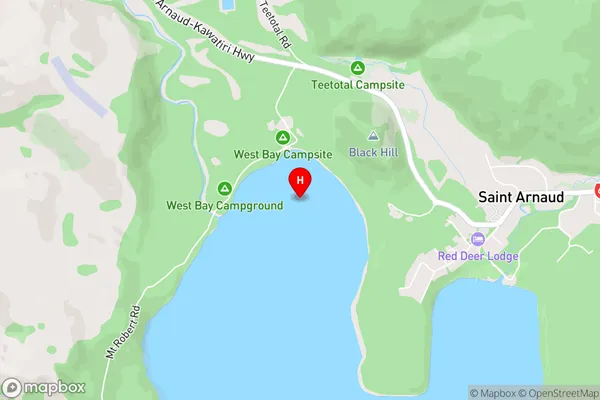
Lake RotoitiWest Bay Area Map (Street)
Local Authority
Tasman DistrictFull Address
West Bay, Tasman District, New ZealandAddress Type
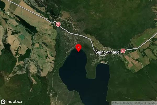
Inland BayWest Bay Suburb Map (Satellite)
Country
Main Region in AU
TasmanWest Bay Region Map

Coordinates
-41.8015444,172.8287843 (latitude/longitude)Distances
The distance from West Bay, , Tasman District to NZ Top 10 Cities