Watering Cove Area, Watering Cove Postcode & Map in Watering Cove
Watering Cove Area, Watering Cove Postcode & Map in Watering Cove, Tasman District, New Zealand
Watering Cove, Tasman District, New Zealand
Watering Cove Area (estimated)
0.0 square kilometersWatering Cove Population (estimated)
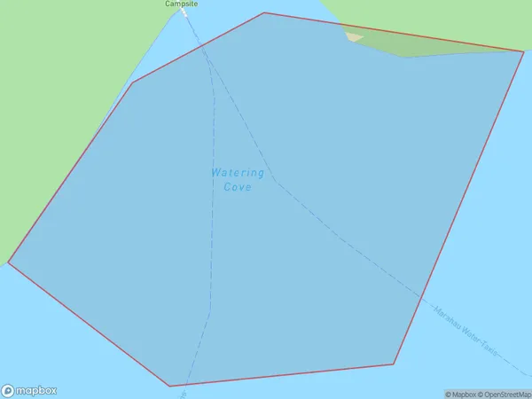
0 people live in Watering Cove, Tasman, NZWatering Cove Suburb Area Map (Polygon)
Watering Cove Introduction
Watering Cove is a small beach located in the Tasman District of New Zealand's South Island. It is known for its crystal-clear waters and stunning coastal scenery, and is a popular spot for swimming, kayaking, and picnicking. The cove is surrounded by native forest and has a small campground with basic facilities. It is accessible via a short walk from the parking area and is a must-visit destination for nature lovers and outdoor enthusiasts.Region
Suburb Name
Watering CoveOther Name(s)
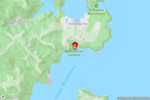
Tasman BayWatering Cove Area Map (Street)
Local Authority
Tasman DistrictFull Address
Watering Cove, Tasman District, New ZealandAddress Type
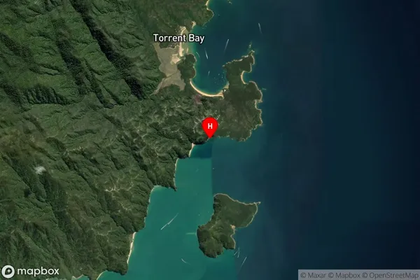
Coastal BayWatering Cove Suburb Map (Satellite)
Country
Main Region in AU
TasmanWatering Cove Region Map

Coordinates
-40.964712,173.0564844 (latitude/longitude)Distances
The distance from Watering Cove, , Tasman District to NZ Top 10 Cities