Lyttelton Area, Lyttelton Postcode(8082) & Map in Lyttelton
Lyttelton Area, Lyttelton Postcode(8082) & Map in Lyttelton, Christchurch City, New Zealand
Lyttelton, Christchurch City, New Zealand
Lyttelton Area (estimated)
7.3 square kilometersLyttelton Population (estimated)
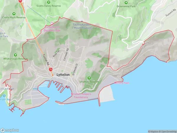
2626 people live in Lyttelton, Banks Peninsula Community, NZLyttelton Suburb Area Map (Polygon)
Lyttelton Introduction
Lyttelton is a small port city in Canterbury, New Zealand, known for its picturesque harbor, historic buildings, and vibrant arts community. It is located on the banks of the Lyttelton Harbor, which provides a safe and sheltered anchorage for ships. The city has a rich history, with its first settlers arriving in the 1840s. It is home to a number of important historical sites, including the Lyttelton Lighthouse, which was built in 1877, and the Old Government Buildings, which date back to the 1850s.Region
Major City
Suburb Name
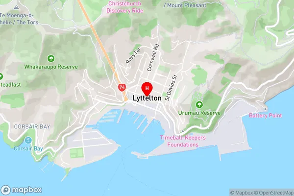
LytteltonLyttelton Area Map (Street)
Local Authority
Christchurch CityFull Address
Lyttelton, Christchurch City, New ZealandAddress Type
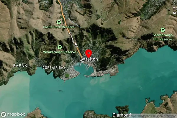
Suburb in Town LytteltonLyttelton Suburb Map (Satellite)
Country
Main Region in AU
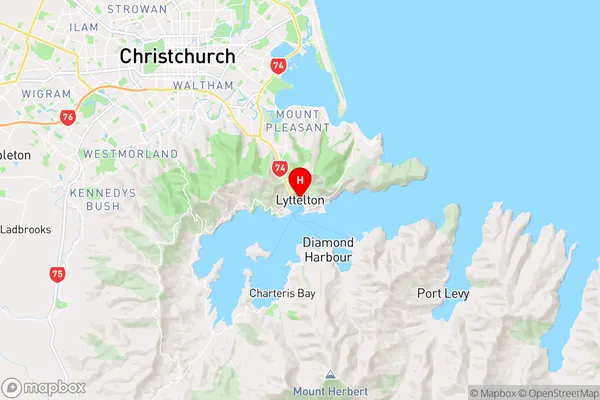
CanterburyLyttelton Region Map
Coordinates
-43.6024739,172.7205727 (latitude/longitude)Distances
The distance from Lyttelton, Lyttelton, Christchurch City to NZ Top 10 Cities