Waitui Bay Area, Waitui Bay Postcode & Map in Waitui Bay
Waitui Bay Area, Waitui Bay Postcode & Map in Waitui Bay, Marlborough District, New Zealand
Waitui Bay, Marlborough District, New Zealand
Waitui Bay Area (estimated)
19.3 square kilometersWaitui Bay Population (estimated)
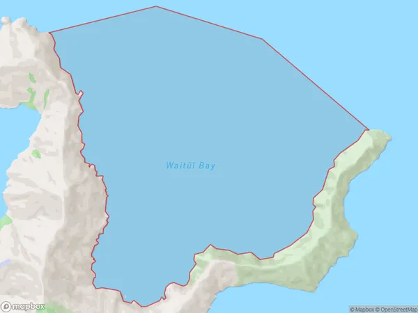
0 people live in Waitui Bay, Marlborough, NZWaitui Bay Suburb Area Map (Polygon)
Waitui Bay Introduction
Waitui Bay is located in the Marlborough region of New Zealand's South Island. It is known for its stunning turquoise waters, white sandy beaches, and picturesque coastal scenery. The bay is a popular spot for swimming, kayaking, and fishing, and it is surrounded by lush green forests and farmland. The bay has a rich history and was once home to a Māori tribe. It is also home to a small community of people who live in the surrounding areas.Region
Suburb Name
Waitui Bay (Maori Name: Waitūī Bay)Waitui Bay Area Map (Street)

Local Authority
Marlborough DistrictFull Address
Waitui Bay, Marlborough District, New ZealandAddress Type
Coastal BayWaitui Bay Suburb Map (Satellite)

Country
Main Region in AU
MarlboroughWaitui Bay Region Map

Coordinates
-40.989783,174.196211033317 (latitude/longitude)Distances
The distance from Waitui Bay, , Marlborough District to NZ Top 10 Cities