Waitio Bay Area, Waitio Bay Postcode(4108) & Map in Waitio Bay
Waitio Bay Area, Waitio Bay Postcode(4108) & Map in Waitio Bay, Wairoa District, New Zealand
Waitio Bay, Wairoa District, New Zealand
Waitio Bay Postcodes
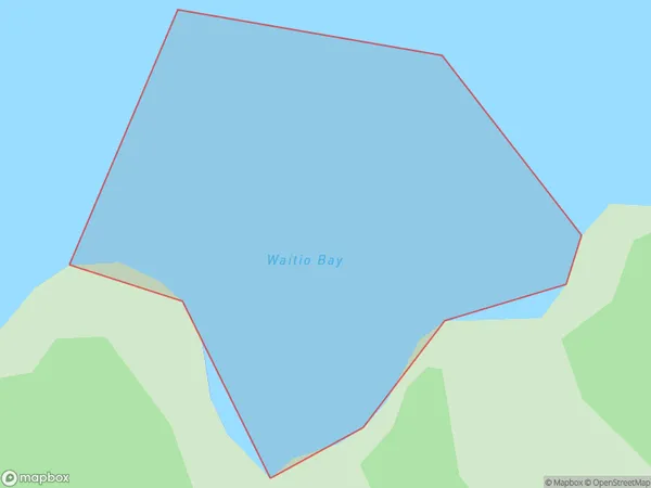
Waitio Bay Area (estimated)
0.1 square kilometersWaitio Bay Population (estimated)
0 people live in Waitio Bay, Hawke's Bay, NZWaitio Bay Suburb Area Map (Polygon)
Waitio Bay Introduction
Waitio Bay is located in Hawke's Bay, New Zealand. It is a popular destination for beachgoers and water sports enthusiasts due to its clear waters and sandy beaches. The bay is also home to a small community of residents and a historic pa site.Region
Suburb Name
Waitio BayOther Name(s)
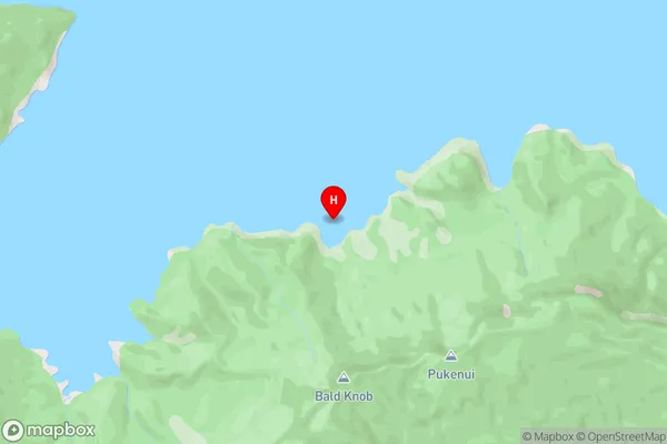
Lake WaikaremoanaWaitio Bay Area Map (Street)
Local Authority
Wairoa DistrictFull Address
Waitio Bay, Wairoa District, New ZealandAddress Type
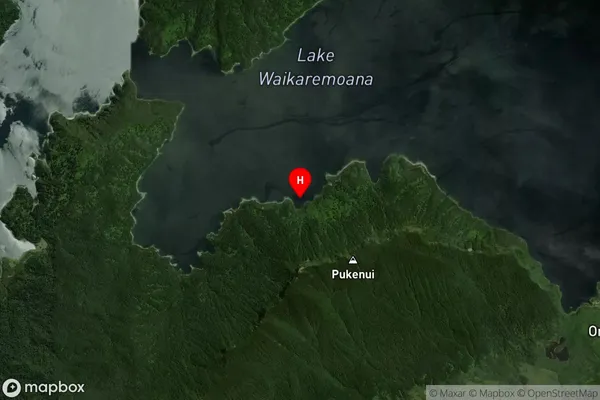
Inland BayWaitio Bay Suburb Map (Satellite)
Country
Main Region in AU
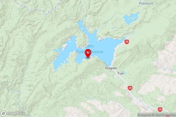
Hawke's BayWaitio Bay Region Map
Coordinates
-38.7856128,177.0686348 (latitude/longitude)Distances
The distance from Waitio Bay, , Wairoa District to NZ Top 10 Cities