Waitete Bay Area, Waitete Bay Postcode & Map in Waitete Bay
Waitete Bay Area, Waitete Bay Postcode & Map in Waitete Bay, Area outside Territorial Authority,
Waitete Bay, Area outside Territorial Authority,
Waitete Bay Area (estimated)
1.0 square kilometersWaitete Bay Population (estimated)
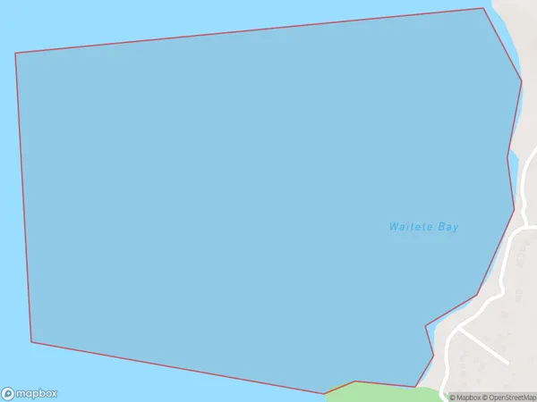
0 people live in Waitete Bay, Brighton, NZWaitete Bay Suburb Area Map (Polygon)
Waitete Bay Introduction
Waitete Bay is a small, shallow bay located in the southern region of New Zealand's Otago Peninsula. It is known for its stunning coastal scenery, including rugged cliffs, picturesque beaches, and a variety of wildlife. The bay is a popular destination for outdoor activities such as hiking, fishing, and kayaking, and is also home to a small community of residents.Region
Major City
Suburb Name
Waitete BayOther Name(s)
Hauraki GulfWaitete Bay Area Map (Street)
Local Authority
Area outside Territorial AuthorityFull Address
Waitete Bay, Area outside Territorial Authority,Address Type
Coastal BayWaitete Bay Suburb Map (Satellite)
Country
Main Region in AU
OtagoWaitete Bay Region Map
Coordinates
0,0 (latitude/longitude)Distances
The distance from Waitete Bay, , Area outside Territorial Authority to NZ Top 10 Cities