Waitepipi Bay Area, Waitepipi Bay Postcode(0479) & Map in Waitepipi Bay
Waitepipi Bay Area, Waitepipi Bay Postcode(0479) & Map in Waitepipi Bay, Far North District, New Zealand
Waitepipi Bay, Far North District, New Zealand
Waitepipi Bay Postcodes
Waitepipi Bay Area (estimated)
0.4 square kilometersWaitepipi Bay Population (estimated)
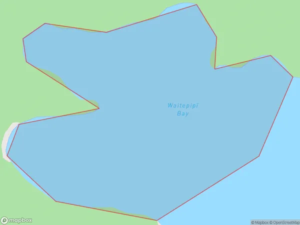
0 people live in Waitepipi Bay, Bay of Islands-Whangaroa Community, NZWaitepipi Bay Suburb Area Map (Polygon)
Waitepipi Bay Introduction
Waitepipi Bay is a picturesque bay located in the Northland region of New Zealand. It is known for its clear waters, sandy beaches, and stunning coastal scenery. The bay is a popular destination for tourists and locals alike, with opportunities for swimming, kayaking, and fishing. It is also home to a small community of people who live in the surrounding areas.Region
Major City
Suburb Name
Waitepipi Bay (Maori Name: Waitepipī Bay)Other Name(s)
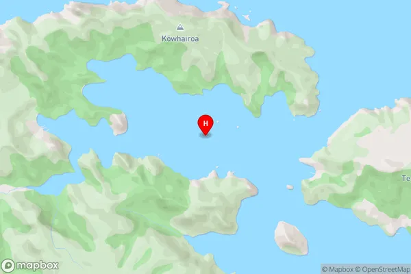
Pekapeka BayWaitepipi Bay Area Map (Street)
Local Authority
Far North DistrictFull Address
Waitepipi Bay, Far North District, New ZealandAddress Type
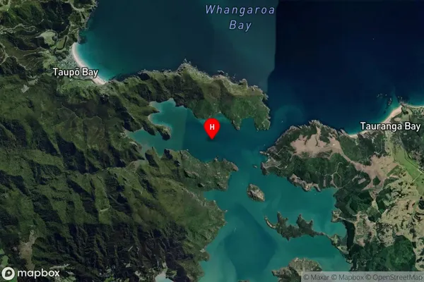
Coastal BayWaitepipi Bay Suburb Map (Satellite)
Country
Main Region in AU
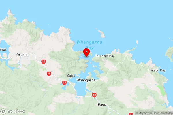
NorthlandWaitepipi Bay Region Map
Coordinates
-35.0088856,173.7433757 (latitude/longitude)Distances
The distance from Waitepipi Bay, , Far North District to NZ Top 10 Cities