Waitata Bay Area, Waitata Bay Postcode & Map in Waitata Bay
Waitata Bay Area, Waitata Bay Postcode & Map in Waitata Bay, Marlborough District, New Zealand
Waitata Bay, Marlborough District, New Zealand
Waitata Bay Area (estimated)
7.5 square kilometersWaitata Bay Population (estimated)
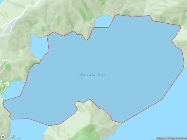
0 people live in Waitata Bay, Marlborough, NZWaitata Bay Suburb Area Map (Polygon)
Waitata Bay Introduction
Waitata Bay is a popular beach in Marlborough, New Zealand. It is known for its clear waters, sandy beaches, and stunning coastal views. The bay is a popular spot for swimming, sunbathing, and water sports such as kayaking and paddleboarding. It is also home to a variety of bird species, including penguins and seals. The bay is located about 30 minutes drive from Blenheim and has a range of accommodation options, including hotels, resorts, and holiday homes.Region
Suburb Name
Waitata Bay (Maori Name: Waitātā Bay)Other Name(s)
Waitata Reach (Maori Name: Waitātā Reach)Waitata Bay Area Map (Street)

Local Authority
Marlborough DistrictFull Address
Waitata Bay, Marlborough District, New ZealandAddress Type
Coastal BayWaitata Bay Suburb Map (Satellite)

Country
Main Region in AU
MarlboroughWaitata Bay Region Map

Coordinates
-40.97497675,173.92379705455 (latitude/longitude)Distances
The distance from Waitata Bay, , Marlborough District to NZ Top 10 Cities