Waitaria Bay Area, Waitaria Bay Postcode & Map in Waitaria Bay
Waitaria Bay Area, Waitaria Bay Postcode & Map in Waitaria Bay, Marlborough District, New Zealand
Waitaria Bay, Marlborough District, New Zealand
Waitaria Bay Area (estimated)
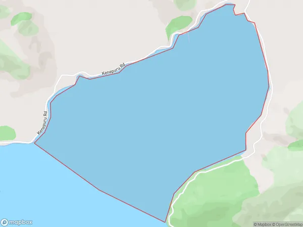
2.3 square kilometersWaitaria Bay Population (estimated)
0 people live in Waitaria Bay, Marlborough, NZWaitaria Bay Suburb Area Map (Polygon)
Waitaria Bay Introduction
Waitaria Bay is a popular beach destination in Marlborough, New Zealand. It is known for its crystal-clear waters, white sand beaches, and stunning coastal views. The bay is a popular spot for swimming, kayaking, and fishing, and it is also home to a variety of wildlife, including seals, dolphins, and penguins. Visitors can also enjoy a range of accommodations, including hotels, resorts, and holiday homes, in the surrounding area.Region
Suburb Name
Waitaria BayOther Name(s)
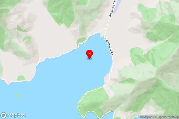
Kenepuru SoundWaitaria Bay Area Map (Street)
Local Authority
Marlborough DistrictFull Address
Waitaria Bay, Marlborough District, New ZealandAddress Type
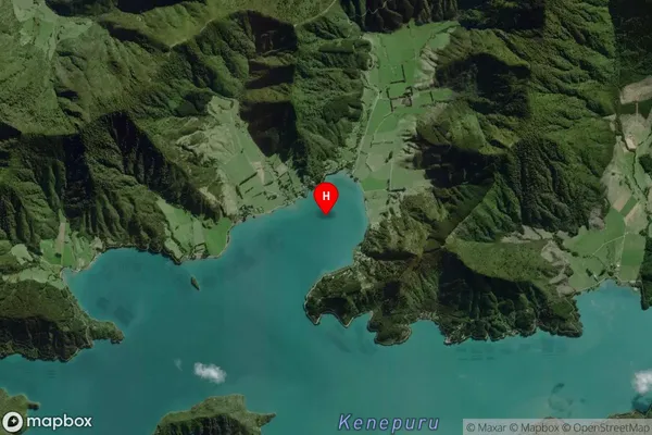
Coastal BayWaitaria Bay Suburb Map (Satellite)
Country
Main Region in AU
MarlboroughWaitaria Bay Region Map

Coordinates
-41.1637338,174.0436064 (latitude/longitude)Distances
The distance from Waitaria Bay, , Marlborough District to NZ Top 10 Cities