Waitapu Bay Area, Waitapu Bay Postcode(0479) & Map in Waitapu Bay
Waitapu Bay Area, Waitapu Bay Postcode(0479) & Map in Waitapu Bay, Far North District, New Zealand
Waitapu Bay, Far North District, New Zealand
Waitapu Bay Postcodes
Waitapu Bay Area (estimated)
2.1 square kilometersWaitapu Bay Population (estimated)
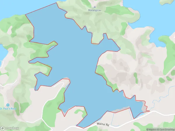
0 people live in Waitapu Bay, Bay of Islands-Whangaroa Community, NZWaitapu Bay Suburb Area Map (Polygon)
Waitapu Bay Introduction
Waitapu Bay is a popular destination for swimming, kayaking, and fishing in Northland, New Zealand. It is located on the Bay of Islands and is known for its clear waters and stunning natural beauty. The bay is also home to a variety of marine species, including dolphins, whales, and seals. Visitors can explore the nearby forests and beaches or take a boat tour to see the area's wildlife.Region
Major City
Suburb Name
Waitapu BayOther Name(s)
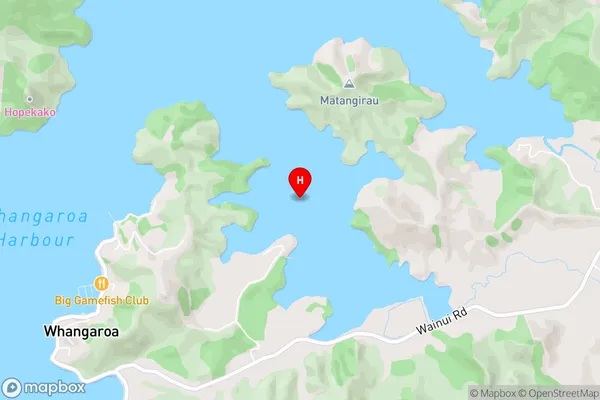
Whangaroa HarbourWaitapu Bay Area Map (Street)
Local Authority
Far North DistrictFull Address
Waitapu Bay, Far North District, New ZealandAddress Type
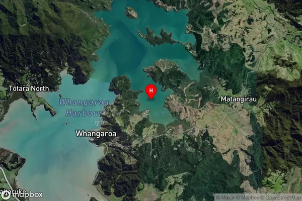
Coastal BayWaitapu Bay Suburb Map (Satellite)
Country
Main Region in AU
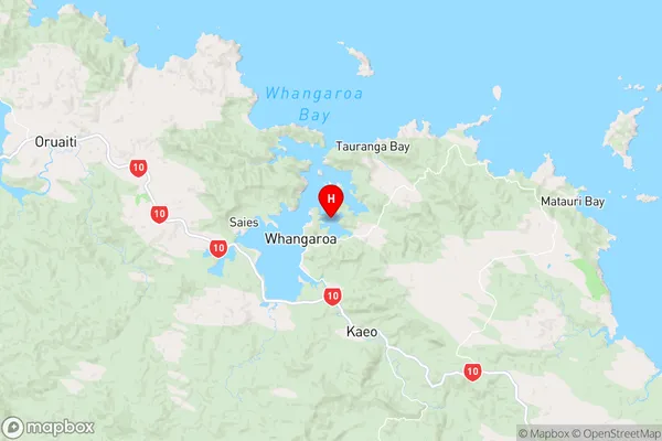
NorthlandWaitapu Bay Region Map
Coordinates
-35.043717,173.76086 (latitude/longitude)Distances
The distance from Waitapu Bay, , Far North District to NZ Top 10 Cities