Waitaniwha Bay Area, Waitaniwha Bay Postcode & Map in Waitaniwha Bay
Waitaniwha Bay Area, Waitaniwha Bay Postcode & Map in Waitaniwha Bay, Area outside Territorial Authority, New Zealand
Waitaniwha Bay, Area outside Territorial Authority, New Zealand
Waitaniwha Bay Area (estimated)
0.7 square kilometersWaitaniwha Bay Population (estimated)
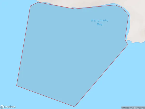
0 people live in Waitaniwha Bay, Hawke's Bay, NZWaitaniwha Bay Suburb Area Map (Polygon)
Waitaniwha Bay Introduction
Waitaniwha Bay is located in Hawke's Bay, New Zealand. It is known for its stunning natural beauty, including crystal-clear waters, rugged cliffs, and diverse marine life. The bay is a popular destination for swimming, snorkeling, and kayaking, and is home to a small community of residents. The bay is also a significant conservation area, with many species of birds and plants found in its waters and surrounding areas.Region
Suburb Name
Waitaniwha BayOther Name(s)
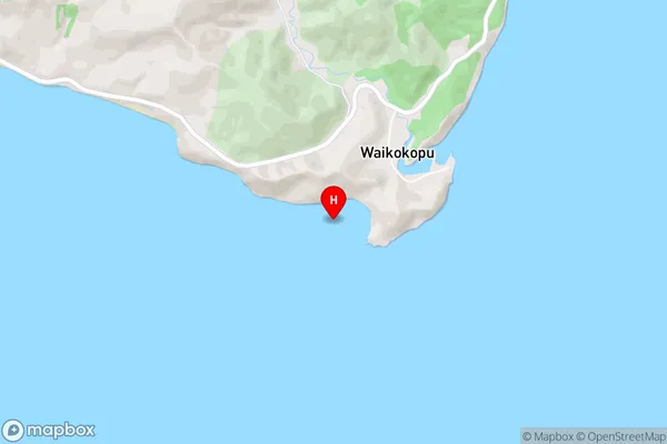
Hawke BayWaitaniwha Bay Area Map (Street)
Local Authority
Area outside Territorial AuthorityFull Address
Waitaniwha Bay, Area outside Territorial Authority, New ZealandAddress Type
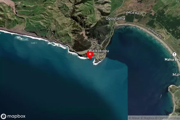
Coastal BayWaitaniwha Bay Suburb Map (Satellite)
Country
Main Region in AU
Hawke's BayWaitaniwha Bay Region Map

Coordinates
-39.0754931,177.8194928 (latitude/longitude)Distances
The distance from Waitaniwha Bay, , Area outside Territorial Authority to NZ Top 10 Cities