Waitangi Bay Area, Waitangi Bay Postcode(3010) & Map in Waitangi Bay
Waitangi Bay Area, Waitangi Bay Postcode(3010) & Map in Waitangi Bay, Rotorua District, New Zealand
Waitangi Bay, Rotorua District, New Zealand
Waitangi Bay Postcodes
Waitangi Bay Area (estimated)
0.1 square kilometersWaitangi Bay Population (estimated)
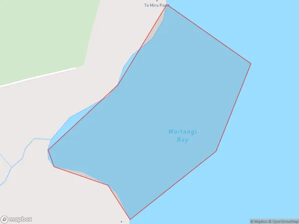
0 people live in Waitangi Bay, Bay of Plenty, NZWaitangi Bay Suburb Area Map (Polygon)
Waitangi Bay Introduction
Waitangi Bay is located in the Bay of Plenty region of New Zealand. It is known for its stunning beaches, rich cultural heritage, and as the site of the Treaty of Waitangi, which established New Zealand as a British colony. The bay is also a popular destination for boating, fishing, and swimming.Region
Suburb Name
Waitangi BayOther Name(s)
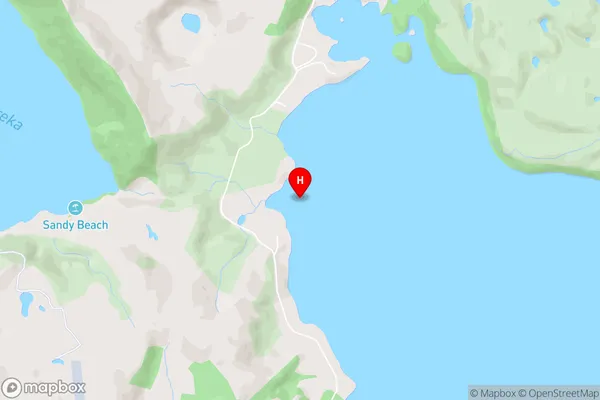
Lake TaraweraWaitangi Bay Area Map (Street)
Local Authority
Rotorua DistrictFull Address
Waitangi Bay, Rotorua District, New ZealandAddress Type
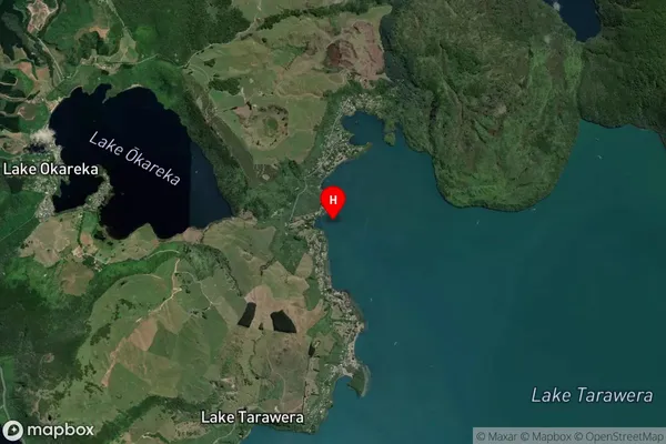
Inland BayWaitangi Bay Suburb Map (Satellite)
Country
Main Region in AU
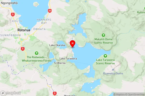
Bay of PlentyWaitangi Bay Region Map
Coordinates
-38.1785222,176.391422 (latitude/longitude)Distances
The distance from Waitangi Bay, , Rotorua District to NZ Top 10 Cities