Waipiro Bay Area, Waipiro Bay Postcode & Map in Waipiro Bay
Waipiro Bay Area, Waipiro Bay Postcode & Map in Waipiro Bay, Far North District, New Zealand
Waipiro Bay, Far North District, New Zealand
Waipiro Bay Area (estimated)
0.6 square kilometersWaipiro Bay Population (estimated)
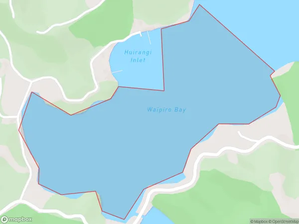
0 people live in Waipiro Bay, Bay of Islands-Whangaroa Community, NZWaipiro Bay Suburb Area Map (Polygon)
Waipiro Bay Introduction
Waipiro Bay is a picturesque bay located in the Northland region of New Zealand. It is known for its crystal-clear waters, stunning coastal scenery, and rich cultural heritage. The bay is a popular destination for tourists and locals alike, with many opportunities for swimming, fishing, and hiking. The bay is also home to a small community of Maori people, who have lived in the area for centuries.Region
Major City
Suburb Name
Waipiro BayOther Name(s)
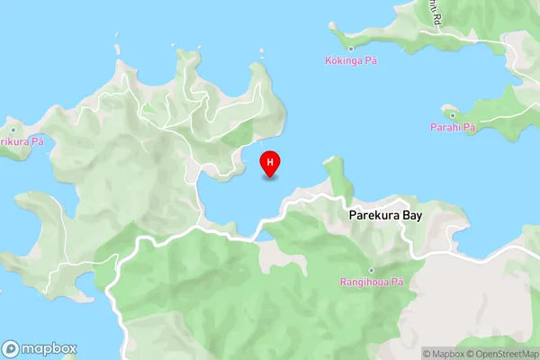
Te Rawhiti Inlet, Bay Of IslandsWaipiro Bay Area Map (Street)
Local Authority
Far North DistrictFull Address
Waipiro Bay, Far North District, New ZealandAddress Type
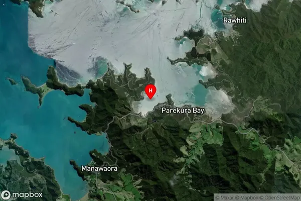
Coastal BayWaipiro Bay Suburb Map (Satellite)
Country
Main Region in AU
NorthlandWaipiro Bay Region Map

Coordinates
-35.255452,174.2322547 (latitude/longitude)Distances
The distance from Waipiro Bay, , Far North District to NZ Top 10 Cities