Waipapa Bay Area, Waipapa Bay Postcode(3543) & Map in Waipapa Bay
Waipapa Bay Area, Waipapa Bay Postcode(3543) & Map in Waipapa Bay, Thames-Coromandel District, New Zealand
Waipapa Bay, Thames-Coromandel District, New Zealand
Waipapa Bay Postcodes
Waipapa Bay Area (estimated)
0.3 square kilometersWaipapa Bay Population (estimated)
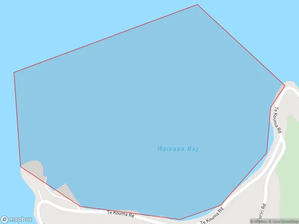
0 people live in Waipapa Bay, Waikato, NZWaipapa Bay Suburb Area Map (Polygon)
Waipapa Bay Introduction
Waipapa Bay is a small, sheltered bay located in the Waikato region of New Zealand. It is known for its clear waters, sandy beaches, and stunning coastal scenery. The bay is a popular spot for swimming, kayaking, and fishing, and it is also home to a small community of residents. The bay is surrounded by picturesque farmland and rolling hills, and it is located just a short drive from the town of Hamilton.Region
Suburb Name
Waipapa BayOther Name(s)
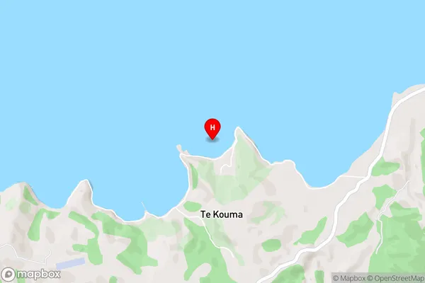
Hauraki GulfWaipapa Bay Area Map (Street)
Local Authority
Thames-Coromandel DistrictFull Address
Waipapa Bay, Thames-Coromandel District, New ZealandAddress Type
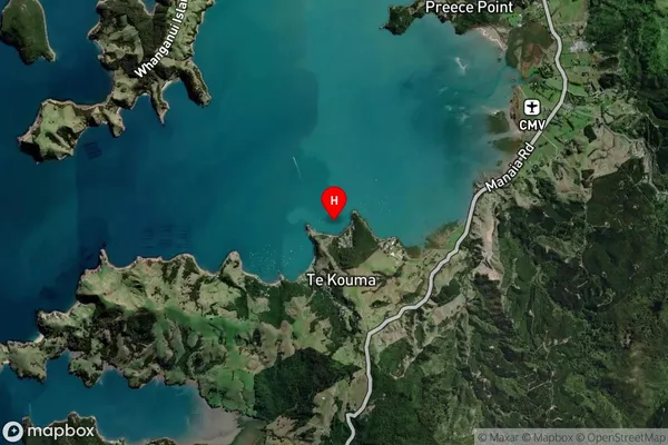
Coastal BayWaipapa Bay Suburb Map (Satellite)
Country
Main Region in AU
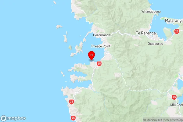
WaikatoWaipapa Bay Region Map
Coordinates
-36.8039205,175.476572 (latitude/longitude)Distances
The distance from Waipapa Bay, , Thames-Coromandel District to NZ Top 10 Cities