Waionui Inlet Area, Waionui Inlet Postcode(1148) & Map in Waionui Inlet
Waionui Inlet Area, Waionui Inlet Postcode(1148) & Map in Waionui Inlet, Auckland, New Zealand
Waionui Inlet, Auckland, New Zealand
Waionui Inlet Postcodes
Waionui Inlet Area (estimated)
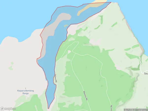
6.5 square kilometersWaionui Inlet Population (estimated)
0 people live in Waionui Inlet, Rodney, NZWaionui Inlet Suburb Area Map (Polygon)
Waionui Inlet Introduction
Waionui Inlet is located in Auckland, New Zealand. It is a popular spot for swimming, kayaking, and paddleboarding due to its calm waters and stunning natural surroundings. The inlet is also home to a large number of bird species, including the rare New Zealand bittern. The area is surrounded by lush forests and farmland and offers a peaceful escape from the hustle and bustle of city life.Region
Major City
Suburb Name
Waionui InletOther Name(s)
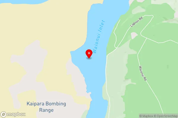
Kaipara HarbourWaionui Inlet Area Map (Street)
Local Authority
AucklandFull Address
Waionui Inlet, Auckland, New ZealandAddress Type
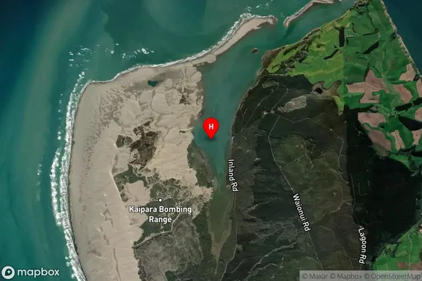
Coastal BayWaionui Inlet Suburb Map (Satellite)
Country
Main Region in AU
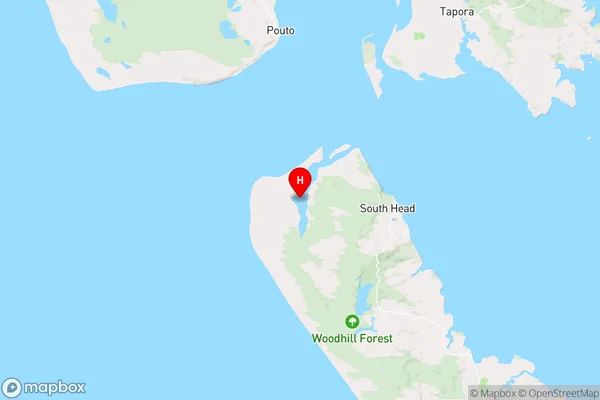
AucklandWaionui Inlet Region Map
Coordinates
-36.45656285,174.194464976482 (latitude/longitude)Distances
The distance from Waionui Inlet, , Auckland to NZ Top 10 Cities