Wainikau Bay Area, Wainikau Bay Postcode(3010) & Map in Wainikau Bay
Wainikau Bay Area, Wainikau Bay Postcode(3010) & Map in Wainikau Bay, Rotorua District, New Zealand
Wainikau Bay, Rotorua District, New Zealand
Wainikau Bay Postcodes
Wainikau Bay Area (estimated)
0.2 square kilometersWainikau Bay Population (estimated)
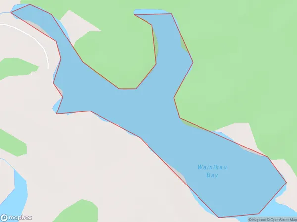
0 people live in Wainikau Bay, Bay of Plenty, NZWainikau Bay Suburb Area Map (Polygon)
Wainikau Bay Introduction
Wainikau Bay is a popular holiday destination in the Bay of Plenty, New Zealand. It is known for its clear waters, sandy beaches, and stunning coastal scenery. The bay is also a popular spot for water sports such as kayaking, sailing, and jet skiing. There are several campgrounds and holiday parks in the area, as well as a few restaurants and cafes. Wainikau Bay is located about 2 hours' drive from Tauranga and 3 hours' drive from Auckland.Region
Suburb Name
Wainikau Bay (Maori Name: Wainīkau Bay)Other Name(s)
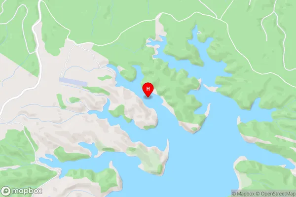
Lake RotoehuWainikau Bay Area Map (Street)
Local Authority
Rotorua DistrictFull Address
Wainikau Bay, Rotorua District, New ZealandAddress Type
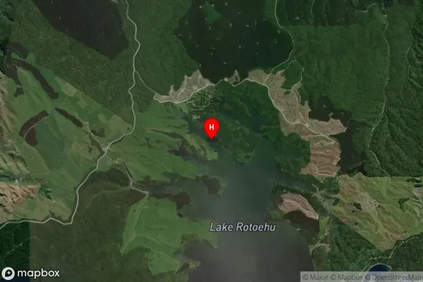
Inland BayWainikau Bay Suburb Map (Satellite)
Country
Main Region in AU
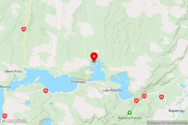
Bay of PlentyWainikau Bay Region Map
Coordinates
-38.002435,176.5224596 (latitude/longitude)Distances
The distance from Wainikau Bay, , Rotorua District to NZ Top 10 Cities