Waimama Bay Area, Waimama Bay Postcode & Map in Waimama Bay
Waimama Bay Area, Waimama Bay Postcode & Map in Waimama Bay, Area outside Territorial Authority, New Zealand
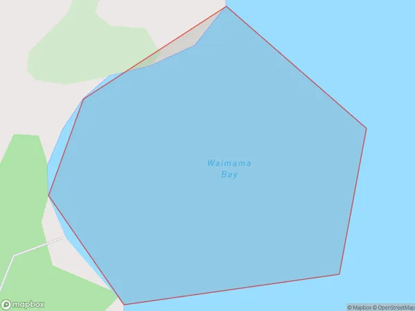
Waimama Bay, Area outside Territorial Authority, New Zealand
Waimama Bay Area (estimated)
0.1 square kilometersWaimama Bay Population (estimated)
0 people live in Waimama Bay, Waikato, NZWaimama Bay Suburb Area Map (Polygon)
Waimama Bay Introduction
Waimama Bay is a popular beach destination in Waikato, New Zealand. It is known for its clear waters, sandy beaches, and stunning coastal views. The bay is a popular spot for swimming, surfing, and fishing, and it is also home to a small community of residents. The bay is surrounded by lush green hills and is located about 45 minutes drive from Hamilton City.Region
Suburb Name
Waimama BayOther Name(s)
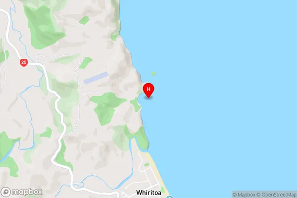
Bay Of PlentyWaimama Bay Area Map (Street)
Local Authority
Area outside Territorial AuthorityFull Address
Waimama Bay, Area outside Territorial Authority, New ZealandAddress Type
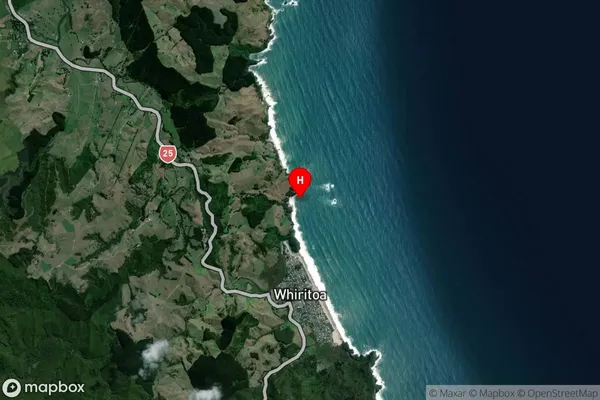
Coastal BayWaimama Bay Suburb Map (Satellite)
Country
Main Region in AU
WaikatoWaimama Bay Region Map

Coordinates
-37.2706934,175.9003633 (latitude/longitude)Distances
The distance from Waimama Bay, , Area outside Territorial Authority to NZ Top 10 Cities