Waimahana Bay Area, Waimahana Bay Postcode & Map in Waimahana Bay
Waimahana Bay Area, Waimahana Bay Postcode & Map in Waimahana Bay, Area outside Territorial Authority, New Zealand
Waimahana Bay, Area outside Territorial Authority, New Zealand
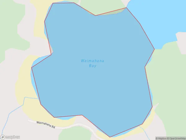
Waimahana Bay Area (estimated)
0.2 square kilometersWaimahana Bay Population (estimated)
0 people live in Waimahana Bay, Northland, NZWaimahana Bay Suburb Area Map (Polygon)
Waimahana Bay Introduction
Waimahana Bay is a picturesque bay located in the Northland region of New Zealand. It is known for its crystal-clear waters, stunning coastal scenery, and diverse marine life. The bay is a popular spot for swimming, snorkeling, and kayaking, and it is also home to a small community of residents. The bay is surrounded by lush forested hills and is located within the Waimahana National Park, a protected area that offers a range of outdoor activities and scenic walks.Region
Suburb Name
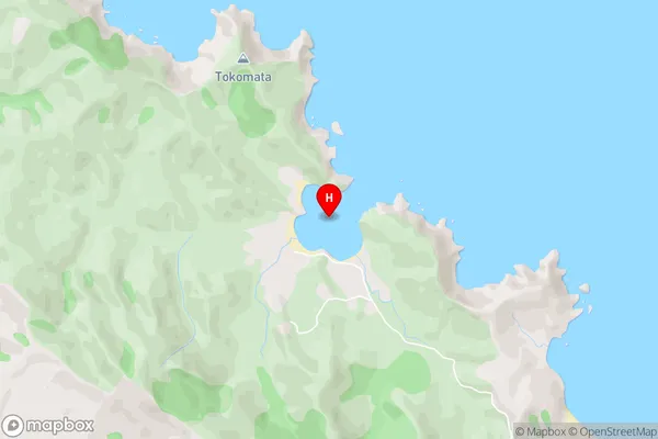
Waimahana BayWaimahana Bay Area Map (Street)
Local Authority
Area outside Territorial AuthorityFull Address
Waimahana Bay, Area outside Territorial Authority, New ZealandAddress Type
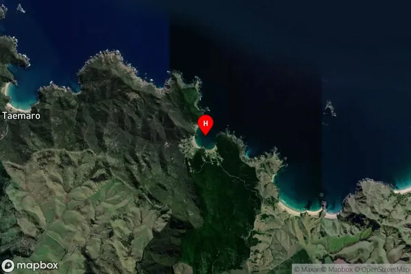
Coastal BayWaimahana Bay Suburb Map (Satellite)
Country
Main Region in AU
NorthlandWaimahana Bay Region Map

Coordinates
-34.9505727,173.6223936 (latitude/longitude)Distances
The distance from Waimahana Bay, , Area outside Territorial Authority to NZ Top 10 Cities