Waiharehare Bay Area, Waiharehare Bay Postcode & Map in Waiharehare Bay
Waiharehare Bay Area, Waiharehare Bay Postcode & Map in Waiharehare Bay, Area outside Territorial Authority, New Zealand
Waiharehare Bay, Area outside Territorial Authority, New Zealand
Waiharehare Bay Area (estimated)
3.4 square kilometersWaiharehare Bay Population (estimated)
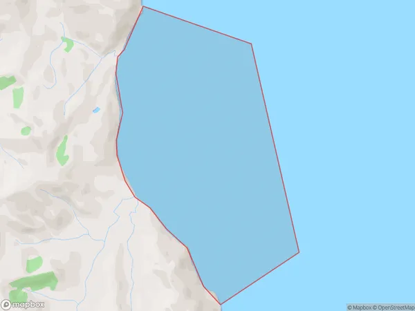
0 people live in Waiharehare Bay, Gisborne, NZWaiharehare Bay Suburb Area Map (Polygon)
Waiharehare Bay Introduction
Waiharehare Bay is a popular beach in Gisborne, New Zealand, known for its golden sand and clear waters. It is a popular spot for swimming, surfing, and fishing and is surrounded by native forest and picturesque farmland. The bay is also home to a small community of artists and craftspeople who have settled in the area.Region
Suburb Name
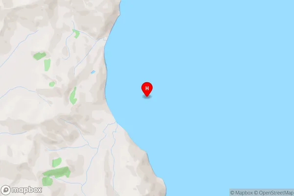
Waiharehare BayWaiharehare Bay Area Map (Street)
Local Authority
Area outside Territorial AuthorityFull Address
Waiharehare Bay, Area outside Territorial Authority, New ZealandAddress Type
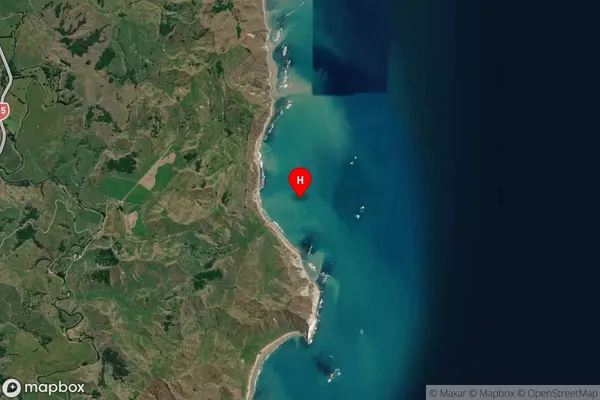
Coastal BayWaiharehare Bay Suburb Map (Satellite)
Country
Main Region in AU
GisborneWaiharehare Bay Region Map

Coordinates
-38.5103662,178.2906765 (latitude/longitude)Distances
The distance from Waiharehare Bay, , Area outside Territorial Authority to NZ Top 10 Cities