Waihapa Bay Area, Waihapa Bay Postcode(0479) & Map in Waihapa Bay
Waihapa Bay Area, Waihapa Bay Postcode(0479) & Map in Waihapa Bay, Far North District, New Zealand
Waihapa Bay, Far North District, New Zealand
Waihapa Bay Postcodes
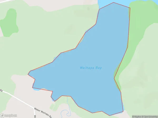
Waihapa Bay Area (estimated)
0.6 square kilometersWaihapa Bay Population (estimated)
0 people live in Waihapa Bay, Bay of Islands-Whangaroa Community, NZWaihapa Bay Suburb Area Map (Polygon)
Waihapa Bay Introduction
Waihapa Bay is a picturesque bay located in the Northland region of New Zealand. It is known for its clear waters, sandy beaches, and stunning coastal scenery. The bay is a popular spot for swimming, kayaking, and fishing, and it is also home to a small community of residents. The bay is surrounded by lush forested hills and is located about 100 kilometers north of Whangarei.Region
Major City
Suburb Name
Waihapa BayOther Name(s)
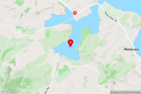
Whangaroa HarbourWaihapa Bay Area Map (Street)
Local Authority
Far North DistrictFull Address
Waihapa Bay, Far North District, New ZealandAddress Type
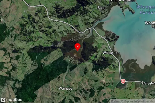
Coastal BayWaihapa Bay Suburb Map (Satellite)
Country
Main Region in AU
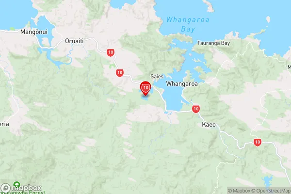
NorthlandWaihapa Bay Region Map
Coordinates
-35.06851,173.6904359 (latitude/longitude)Distances
The distance from Waihapa Bay, , Far North District to NZ Top 10 Cities