Waiarohia Inlet Area, Waiarohia Inlet Postcode(0618) & Map in Waiarohia Inlet
Waiarohia Inlet Area, Waiarohia Inlet Postcode(0618) & Map in Waiarohia Inlet, Auckland, New Zealand
Waiarohia Inlet, Auckland, New Zealand
Waiarohia Inlet Postcodes
Waiarohia Inlet Area (estimated)
0.3 square kilometersWaiarohia Inlet Population (estimated)
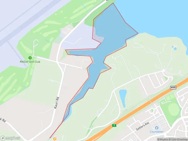
0 people live in Waiarohia Inlet, Upper Harbour, NZWaiarohia Inlet Suburb Area Map (Polygon)
Waiarohia Inlet Introduction
Waiarohia Inlet is a small, shallow inlet of the Hauraki Gulf in Auckland, New Zealand. It is located between the suburbs of Orewa and Waiheke Island and is known for its beautiful beaches, crystal-clear waters, and stunning coastal scenery. The inlet is a popular spot for swimming, kayaking, and fishing, and is also home to a small community of residents.Region
Major City
Suburb Name
Waiarohia InletOther Name(s)
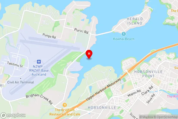
Waitemata Harbour, Hauraki Gulf (Maori Name: Waitematā Harbour, Hauraki Gulf)Waiarohia Inlet Area Map (Street)
Local Authority
AucklandFull Address
Waiarohia Inlet, Auckland, New ZealandAddress Type
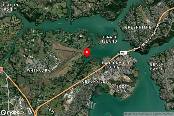
Coastal BayWaiarohia Inlet Suburb Map (Satellite)
Country
Main Region in AU
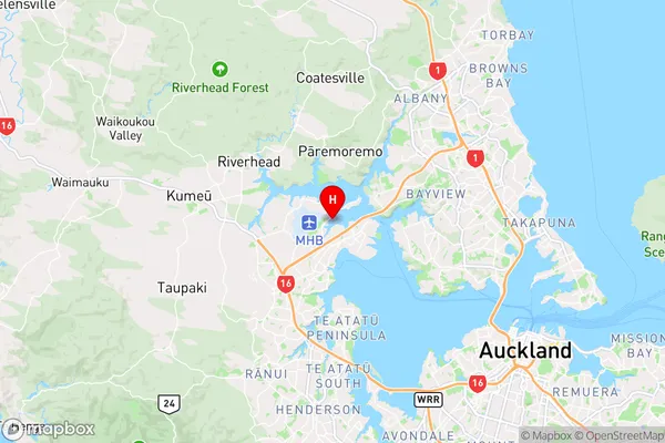
AucklandWaiarohia Inlet Region Map
Coordinates
-36.7881211,174.6436159 (latitude/longitude)Distances
The distance from Waiarohia Inlet, , Auckland to NZ Top 10 Cities