Wahirua Bay Area, Wahirua Bay Postcode(1148) & Map in Wahirua Bay
Wahirua Bay Area, Wahirua Bay Postcode(1148) & Map in Wahirua Bay, Auckland, New Zealand
Wahirua Bay, Auckland, New Zealand
Wahirua Bay Postcodes
Wahirua Bay Area (estimated)
0.1 square kilometersWahirua Bay Population (estimated)
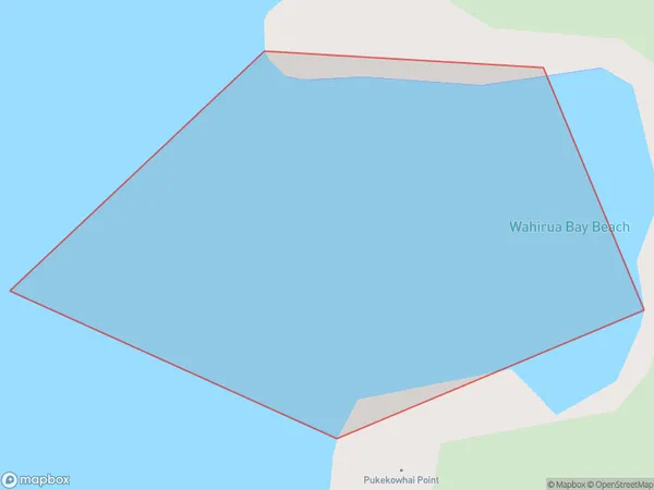
0 people live in Wahirua Bay, Waitākere Ranges, NZWahirua Bay Suburb Area Map (Polygon)
Wahirua Bay Introduction
Wahirua Bay is a picturesque and safe bay located in the northern suburbs of Auckland, New Zealand. It is known for its clear waters, sandy beaches, and stunning coastal scenery. The bay is a popular spot for swimming, kayaking, and paddleboarding, and it is also home to a large population of native birds. The area surrounding Wahirua Bay is characterized by lush green forests and rolling hills, and it is a popular destination for outdoor enthusiasts and nature lovers.Region
Major City
Suburb Name
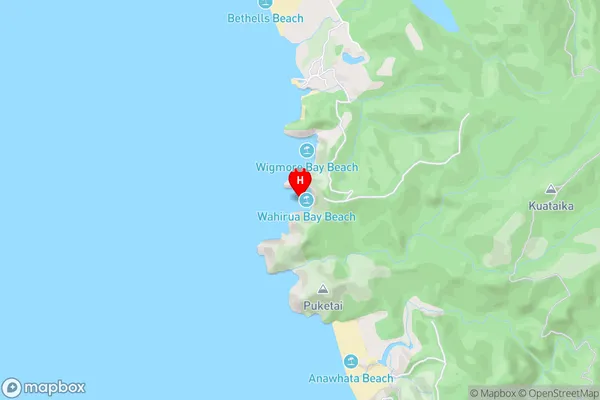
Wahirua BayWahirua Bay Area Map (Street)
Local Authority
AucklandFull Address
Wahirua Bay, Auckland, New ZealandAddress Type
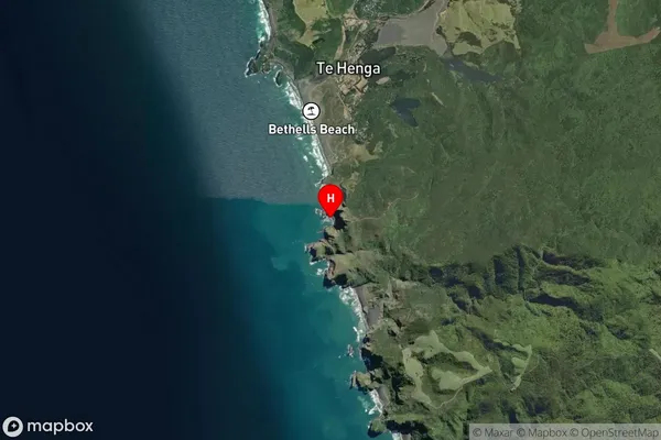
Coastal BayWahirua Bay Suburb Map (Satellite)
Country
Main Region in AU
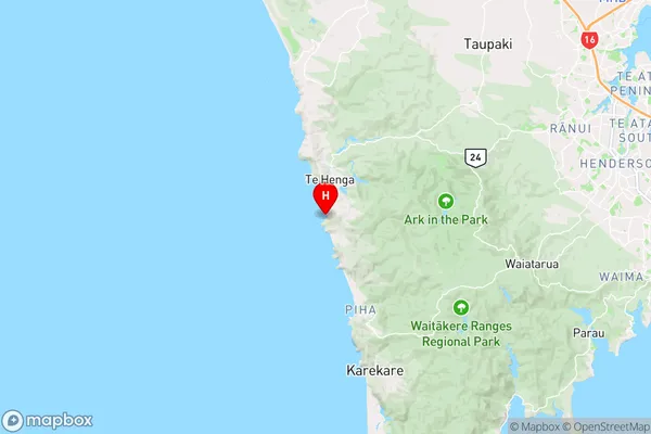
AucklandWahirua Bay Region Map
Coordinates
-36.9085809,174.447520633447 (latitude/longitude)Distances
The distance from Wahirua Bay, , Auckland to NZ Top 10 Cities