Vancouver Arm Area, Vancouver Arm Postcode & Map in Vancouver Arm
Vancouver Arm Area, Vancouver Arm Postcode & Map in Vancouver Arm, Southland District, New Zealand
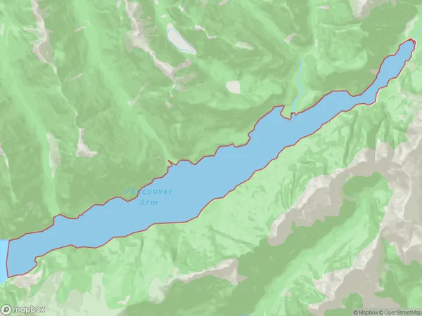
Vancouver Arm, Southland District, New Zealand
Vancouver Arm Area (estimated)
10.3 square kilometersVancouver Arm Population (estimated)
0 people live in Vancouver Arm, Fiordland Community, NZVancouver Arm Suburb Area Map (Polygon)
Vancouver Arm Introduction
Vancouver Arm is a small bay and estuary located in Southland, New Zealand. It is situated at the southern end of Lake Wakatipu and is surrounded by stunning mountain scenery. The arm was named after Captain Vancouver, who visited New Zealand in 1791. It is a popular spot for fishing, boating, and kayaking, and is home to a variety of bird species. The area is also known for its historic gold mining operations, which began in the 1860s.Region
Major City
Suburb Name
Vancouver ArmOther Name(s)
Te Puaitaha / Breaksea SoundVancouver Arm Area Map (Street)

Local Authority
Southland DistrictFull Address
Vancouver Arm, Southland District, New ZealandAddress Type
Coastal BayVancouver Arm Suburb Map (Satellite)

Country
Main Region in AU
SouthlandVancouver Arm Region Map

Coordinates
-45.51681095,166.946908285759 (latitude/longitude)Distances
The distance from Vancouver Arm, , Southland District to NZ Top 10 Cities