Uruti Bay Area, Uruti Bay Postcode(0202) & Map in Uruti Bay
Uruti Bay Area, Uruti Bay Postcode(0202) & Map in Uruti Bay, Far North District, New Zealand
Uruti Bay, Far North District, New Zealand
Uruti Bay Postcodes
Uruti Bay Area (estimated)
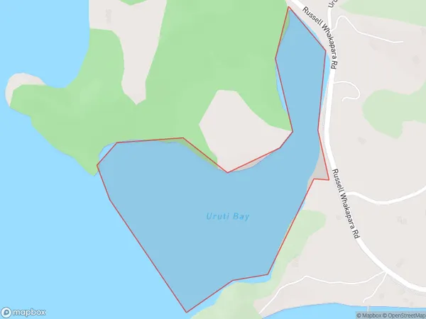
0.3 square kilometersUruti Bay Population (estimated)
0 people live in Uruti Bay, Bay of Islands-Whangaroa Community, NZUruti Bay Suburb Area Map (Polygon)
Uruti Bay Introduction
Uruti Bay is a picturesque beach located in Northland, New Zealand. It is known for its clear waters, golden sand, and stunning coastal views. The bay is a popular spot for swimming, kayaking, and fishing, and it is surrounded by lush forest and rugged terrain. The area has a rich cultural history, with evidence of early Māori settlement and European exploration. Uruti Bay is also home to a small community of residents who enjoy the peaceful and relaxed lifestyle of the bay.Region
Major City
Suburb Name
Uruti BayOther Name(s)
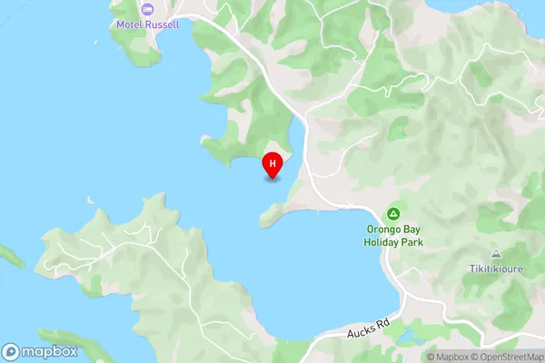
Pomare Bay, Bay Of IslandsUruti Bay Area Map (Street)
Local Authority
Far North DistrictFull Address
Uruti Bay, Far North District, New ZealandAddress Type
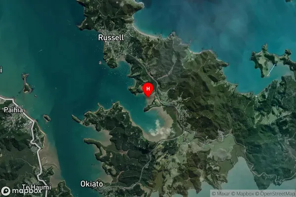
Coastal BayUruti Bay Suburb Map (Satellite)
Country
Main Region in AU
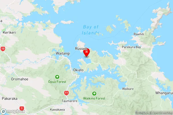
NorthlandUruti Bay Region Map
Coordinates
-35.278627,174.1365623 (latitude/longitude)Distances
The distance from Uruti Bay, , Far North District to NZ Top 10 Cities