Uruti Bay Area, Uruti Bay Postcode & Map in Uruti Bay
Uruti Bay Area, Uruti Bay Postcode & Map in Uruti Bay, Marlborough District, New Zealand
Uruti Bay, Marlborough District, New Zealand
Uruti Bay Area (estimated)
0.4 square kilometersUruti Bay Population (estimated)
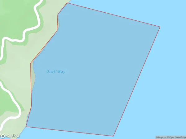
0 people live in Uruti Bay, Marlborough, NZUruti Bay Suburb Area Map (Polygon)
Uruti Bay Introduction
Uruti Bay is a picturesque and peaceful bay located in Marlborough, New Zealand. It is known for its clear waters, stunning coastal scenery, and diverse marine life. The bay is a popular spot for swimming, kayaking, and fishing, and it is also home to a small community of residents. The bay is surrounded by lush green hills and has a peaceful atmosphere that is perfect for relaxation and outdoor activities.Region
Suburb Name
Uruti Bay (Maori Name: Urutī Bay)Other Name(s)
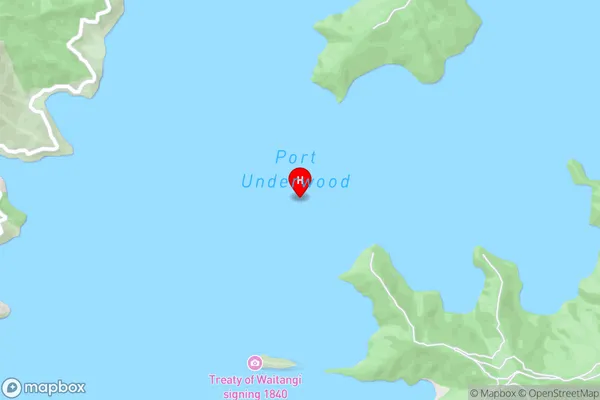
Port Underwood, Cook StraitUruti Bay Area Map (Street)
Local Authority
Marlborough DistrictFull Address
Uruti Bay, Marlborough District, New ZealandAddress Type
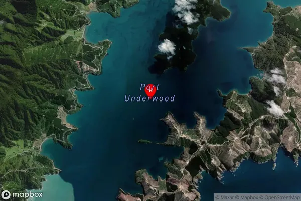
Coastal BayUruti Bay Suburb Map (Satellite)
Country
Main Region in AU
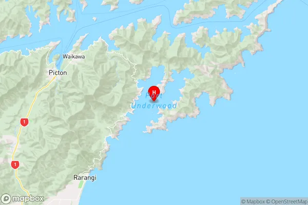
MarlboroughUruti Bay Region Map
Coordinates
-41.3209311,174.13564577958 (latitude/longitude)Distances
The distance from Uruti Bay, , Marlborough District to NZ Top 10 Cities