Tahoro / Union Bay Area, Tahoro / Union Bay Postcode(1148) & Map in Tahoro / Union Bay
Tahoro / Union Bay Area, Tahoro / Union Bay Postcode(1148) & Map in Tahoro / Union Bay, Auckland, New Zealand
Tahoro / Union Bay, Auckland, New Zealand
Tahoro / Union Bay Postcodes
Tahoro / Union Bay Area (estimated)
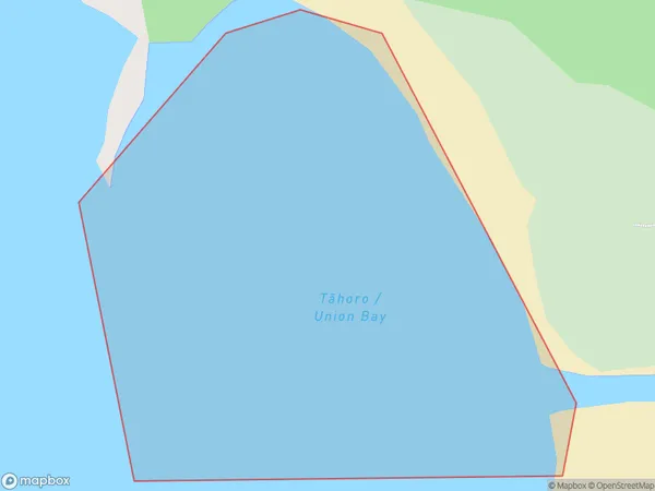
0.1 square kilometersTahoro / Union Bay Population (estimated)
0 people live in Tahoro / Union Bay, Waitākere Ranges, NZTahoro / Union Bay Suburb Area Map (Polygon)
Tahoro / Union Bay Introduction
Tahoro / Union Bay is a suburb of Auckland, New Zealand. It is located on the shores of Lake Rotorua and is known for its beautiful natural surroundings, including hot springs and a waterfall. The suburb has a population of around 10,000 people and is a popular destination for tourists and locals alike.Region
Major City
Suburb Name
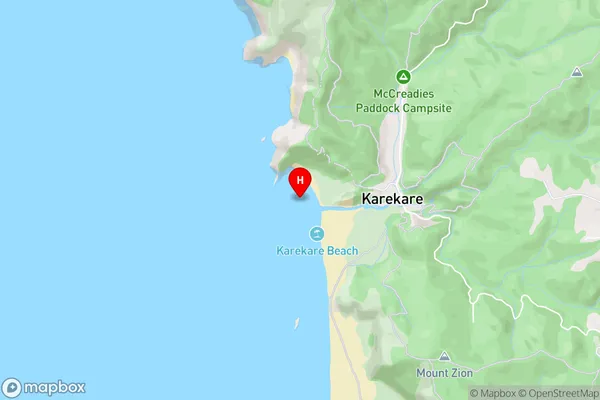
Tahoro / Union Bay (Maori Name: Tāhoro / Union Bay)Tahoro / Union Bay Area Map (Street)
Local Authority
AucklandFull Address
Tahoro / Union Bay, Auckland, New ZealandAddress Type
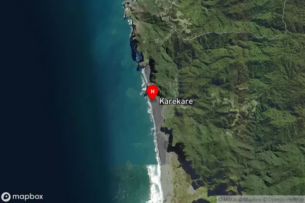
Coastal BayTahoro / Union Bay Suburb Map (Satellite)
Country
Main Region in AU
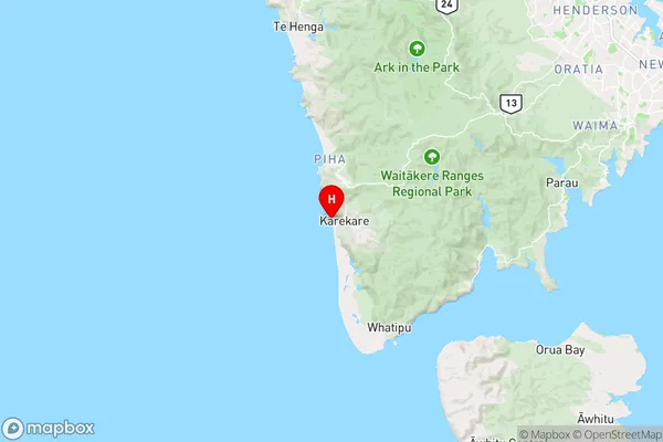
AucklandTahoro / Union Bay Region Map
Coordinates
-36.986226,174.470839 (latitude/longitude)Distances
The distance from Tahoro / Union Bay, , Auckland to NZ Top 10 Cities