Umungata Bay Area, Umungata Bay Postcode(7281) & Map in Umungata Bay
Umungata Bay Area, Umungata Bay Postcode(7281) & Map in Umungata Bay, Marlborough District, New Zealand
Umungata Bay, Marlborough District, New Zealand
Umungata Bay Postcodes
Umungata Bay Area (estimated)
0.2 square kilometersUmungata Bay Population (estimated)
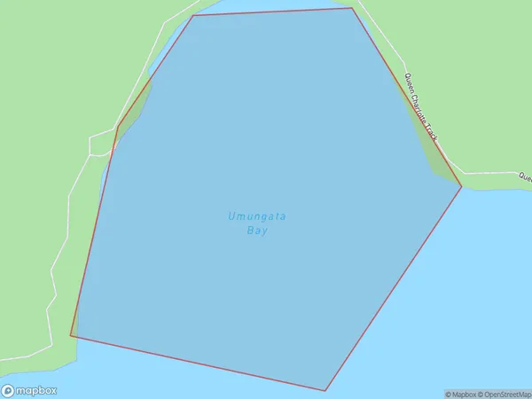
0 people live in Umungata Bay, Marlborough, NZUmungata Bay Suburb Area Map (Polygon)
Umungata Bay Introduction
Umungata Bay is a picturesque and peaceful bay located in Marlborough, New Zealand. It is known for its clear waters, sandy beaches, and stunning coastal scenery. The bay is a popular spot for swimming, kayaking, and fishing, and it is also home to a variety of bird species. The bay is surrounded by lush green hills and vineyards, and it offers a peaceful and tranquil escape from the hustle and bustle of city life.Region
Suburb Name
Umungata BayOther Name(s)
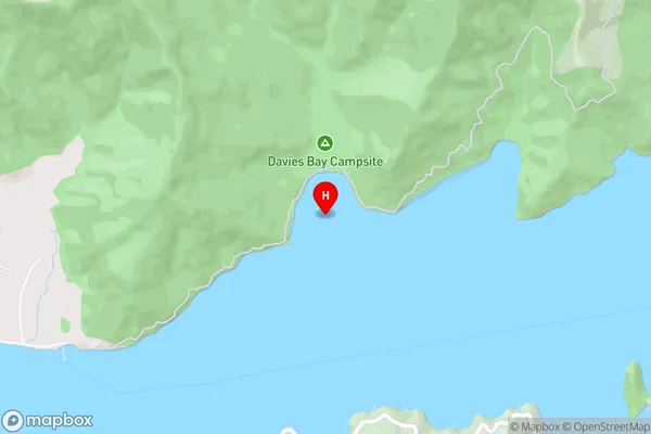
Grove Arm, Queen Charlotte Sound (Totaranui)Umungata Bay Area Map (Street)
Local Authority
Marlborough DistrictFull Address
Umungata Bay, Marlborough District, New ZealandAddress Type
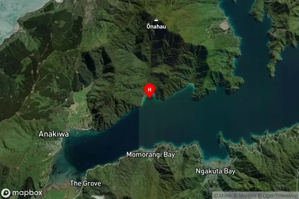
Coastal BayUmungata Bay Suburb Map (Satellite)
Country
Main Region in AU
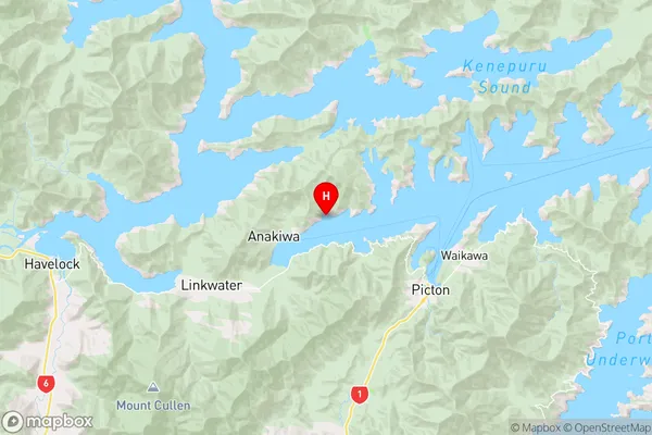
MarlboroughUmungata Bay Region Map
Coordinates
-41.2565749,173.9408303 (latitude/longitude)Distances
The distance from Umungata Bay, , Marlborough District to NZ Top 10 Cities