Umukaha Bay Area, Umukaha Bay Postcode & Map in Umukaha Bay
Umukaha Bay Area, Umukaha Bay Postcode & Map in Umukaha Bay, Whangarei District, New Zealand
Umukaha Bay, Whangarei District, New Zealand
Umukaha Bay Area (estimated)
0.1 square kilometersUmukaha Bay Population (estimated)
0 people live in Umukaha Bay, Northland, NZUmukaha Bay Suburb Area Map (Polygon)
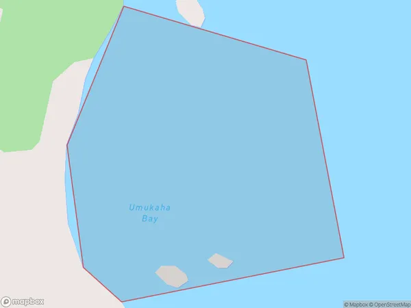
Umukaha Bay Introduction
Umukaha Bay is a small, shallow bay in Northland, New Zealand. It is located on the northern coast of the Aupouri Peninsula and is surrounded by rugged terrain. The bay is known for its clear waters and is a popular spot for swimming, kayaking, and fishing. It is also home to a small community of people who live in the surrounding area.Region
Suburb Name
Umukaha BayOther Name(s)
Whangaruru BayUmukaha Bay Area Map (Street)
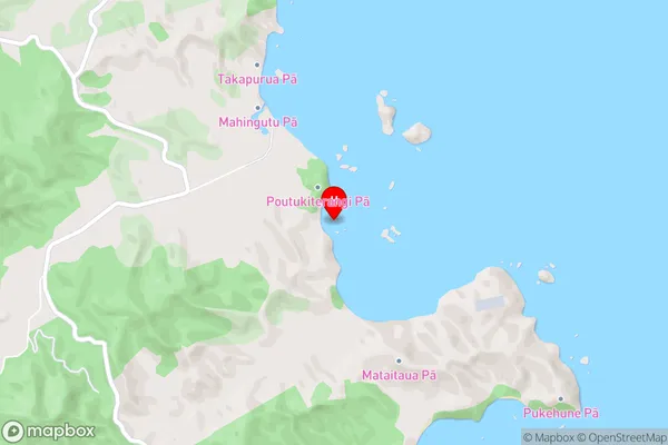
Local Authority
Whangarei DistrictFull Address
Umukaha Bay, Whangarei District, New ZealandAddress Type
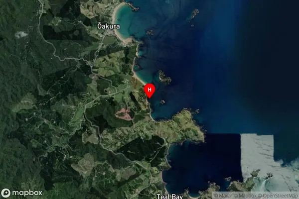
Coastal BayUmukaha Bay Suburb Map (Satellite)
Country
Main Region in AU
NorthlandUmukaha Bay Region Map

Coordinates
-35.4100659,174.3565919 (latitude/longitude)Distances
The distance from Umukaha Bay, , Whangarei District to NZ Top 10 Cities