Tutemohuta Bay Area, Tutemohuta Bay Postcode(3330) & Map in Tutemohuta Bay
Tutemohuta Bay Area, Tutemohuta Bay Postcode(3330) & Map in Tutemohuta Bay, Taupo District, New Zealand
Tutemohuta Bay, Taupo District, New Zealand
Tutemohuta Bay Postcodes
Tutemohuta Bay Area (estimated)
0.6 square kilometersTutemohuta Bay Population (estimated)
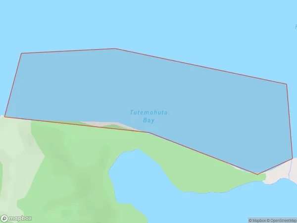
0 people live in Tutemohuta Bay, Waikato, NZTutemohuta Bay Suburb Area Map (Polygon)
Tutemohuta Bay Introduction
Tutemohuta Bay is a small, sheltered bay located in the Waikato region of New Zealand. It is known for its clear waters, sandy beaches, and stunning coastal scenery. The bay is a popular spot for swimming, kayaking, and fishing, and is home to a variety of marine life, including dolphins, whales, and seals. The bay is also a significant cultural site, with numerous archaeological remains and historic landmarks located along its shores.Region
Suburb Name
Tutemohuta BayOther Name(s)
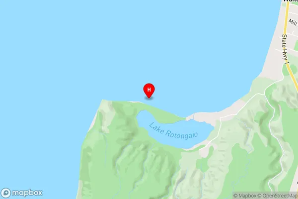
Lake Taupo (Taupomoana)Tutemohuta Bay Area Map (Street)
Local Authority
Taupo DistrictFull Address
Tutemohuta Bay, Taupo District, New ZealandAddress Type
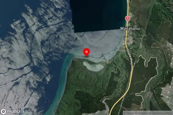
Inland BayTutemohuta Bay Suburb Map (Satellite)
Country
Main Region in AU
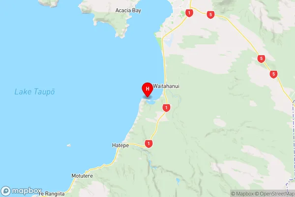
WaikatoTutemohuta Bay Region Map
Coordinates
-38.8034202,176.0522043 (latitude/longitude)Distances
The distance from Tutemohuta Bay, , Taupo District to NZ Top 10 Cities