Tumbledown Bay Area, Tumbledown Bay Postcode & Map in Tumbledown Bay
Tumbledown Bay Area, Tumbledown Bay Postcode & Map in Tumbledown Bay, Marlborough District, New Zealand
Tumbledown Bay, Marlborough District, New Zealand
Tumbledown Bay Area (estimated)
0.2 square kilometersTumbledown Bay Population (estimated)
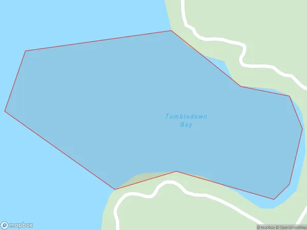
0 people live in Tumbledown Bay, Marlborough, NZTumbledown Bay Suburb Area Map (Polygon)
Tumbledown Bay Introduction
Tumbledown Bay is a small, peaceful bay located in Marlborough, New Zealand. It is known for its clear waters, stunning coastal scenery, and peaceful atmosphere, making it a popular spot for swimming, kayaking, and fishing. The bay is surrounded by lush green hills and is home to a variety of wildlife, including seals, dolphins, and birds. Tumbledown Bay is also a popular destination for tourists who want to experience the natural beauty of New Zealand's Marlborough region.Region
Suburb Name
Tumbledown BayOther Name(s)
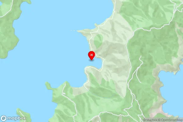
Port Underwood, Cook StraitTumbledown Bay Area Map (Street)
Local Authority
Marlborough DistrictFull Address
Tumbledown Bay, Marlborough District, New ZealandAddress Type
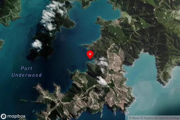
Coastal BayTumbledown Bay Suburb Map (Satellite)
Country
Main Region in AU
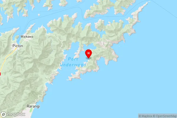
MarlboroughTumbledown Bay Region Map
Coordinates
-41.3139159,174.1716556 (latitude/longitude)Distances
The distance from Tumbledown Bay, , Marlborough District to NZ Top 10 Cities