Touwai Bay Area, Touwai Bay Postcode & Map in Touwai Bay
Touwai Bay Area, Touwai Bay Postcode & Map in Touwai Bay, Far North District, New Zealand
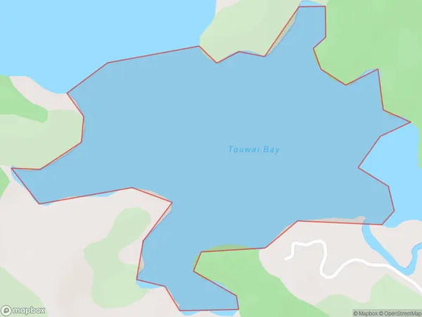
Touwai Bay, Far North District, New Zealand
Touwai Bay Area (estimated)
0.5 square kilometersTouwai Bay Population (estimated)
0 people live in Touwai Bay, Bay of Islands-Whangaroa Community, NZTouwai Bay Suburb Area Map (Polygon)
Touwai Bay Introduction
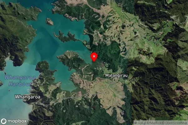
Touwai Bay is a picturesque bay located in the Far North District of Northland, New Zealand. It is known for its stunning natural beauty, including crystal-clear waters, white sandy beaches, and lush green forests. The bay is a popular destination for tourists and outdoor enthusiasts, with opportunities for hiking, fishing, and kayaking. It is also home to a small community of people who live in the surrounding areas.Region
Major City
Suburb Name
Touwai BayOther Name(s)
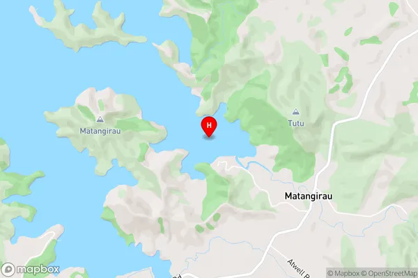
Whangaroa HarbourTouwai Bay Area Map (Street)
Local Authority
Far North DistrictFull Address
Touwai Bay, Far North District, New ZealandAddress Type
Coastal BayTouwai Bay Suburb Map (Satellite)
Country
Main Region in AU
NorthlandTouwai Bay Region Map

Coordinates
-35.0375329,173.7784982 (latitude/longitude)Distances
The distance from Touwai Bay, , Far North District to NZ Top 10 Cities