Tongue Bay Area, Tongue Bay Postcode & Map in Tongue Bay
Tongue Bay Area, Tongue Bay Postcode & Map in Tongue Bay, Marlborough District, New Zealand
Tongue Bay, Marlborough District, New Zealand
Tongue Bay Area (estimated)
0.2 square kilometersTongue Bay Population (estimated)
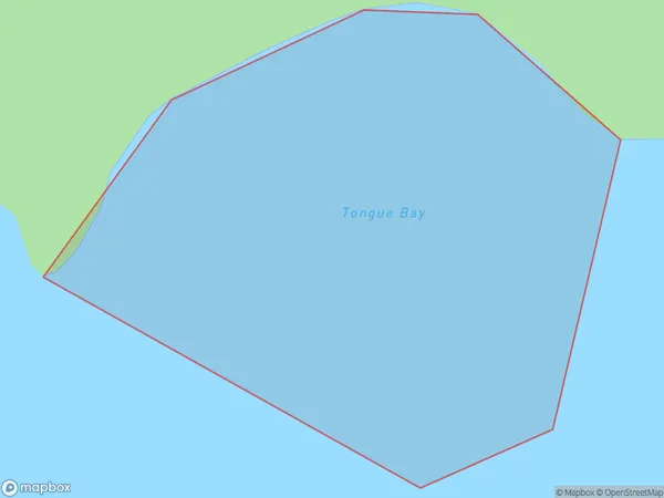
0 people live in Tongue Bay, Marlborough, NZTongue Bay Suburb Area Map (Polygon)
Tongue Bay Introduction
Tongue Bay is a picturesque beach located in Marlborough, New Zealand. It is known for its crystal-clear waters, stunning sunsets, and peaceful surroundings. The bay is a popular spot for swimming, kayaking, and fishing, and it is surrounded by lush green hills and vineyards. It is also home to a small community of people who live in the nearby settlements.Region
Suburb Name
Tongue BayOther Name(s)
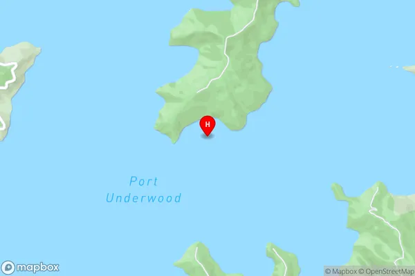
Port Underwood, Cook StraitTongue Bay Area Map (Street)
Local Authority
Marlborough DistrictFull Address
Tongue Bay, Marlborough District, New ZealandAddress Type
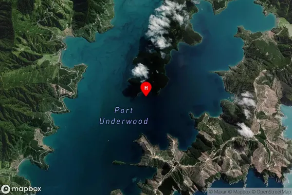
Coastal BayTongue Bay Suburb Map (Satellite)
Country
Main Region in AU
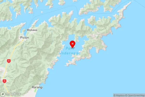
MarlboroughTongue Bay Region Map
Coordinates
-41.3141262,174.1432142 (latitude/longitude)Distances
The distance from Tongue Bay, , Marlborough District to NZ Top 10 Cities