Tom Canes Bay Area, Tom Canes Bay Postcode & Map in Tom Canes Bay
Tom Canes Bay Area, Tom Canes Bay Postcode & Map in Tom Canes Bay, Marlborough District, New Zealand
Tom Canes Bay, Marlborough District, New Zealand
Tom Canes Bay Area (estimated)
0.5 square kilometersTom Canes Bay Population (estimated)
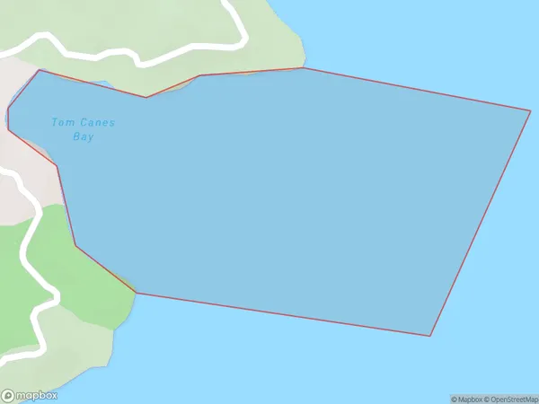
0 people live in Tom Canes Bay, Marlborough, NZTom Canes Bay Suburb Area Map (Polygon)
Tom Canes Bay Introduction
Tom Canes Bay is a popular beach in Marlborough, New Zealand. It is known for its clear waters, sandy beaches, and stunning coastal views. The bay is a popular spot for swimming, sunbathing, and water sports such as kayaking and paddleboarding. There are also several restaurants and cafes located along the beachfront, providing visitors with a variety of dining options. The bay is surrounded by picturesque vineyards and olive groves, making it a popular destination for wine tours and olive oil tastings.Region
Suburb Name
Tom Canes BayOther Name(s)
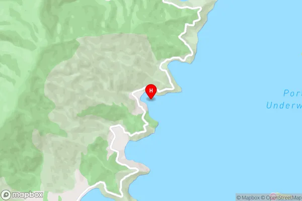
Port Underwood, Cook StraitTom Canes Bay Area Map (Street)
Local Authority
Marlborough DistrictFull Address
Tom Canes Bay, Marlborough District, New ZealandAddress Type
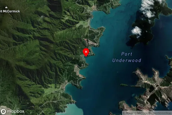
Coastal BayTom Canes Bay Suburb Map (Satellite)
Country
Main Region in AU
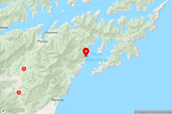
MarlboroughTom Canes Bay Region Map
Coordinates
-41.3191039,174.1109514 (latitude/longitude)Distances
The distance from Tom Canes Bay, , Marlborough District to NZ Top 10 Cities