Toetoes Harbour Area, Toetoes Harbour Postcode & Map in Toetoes Harbour
Toetoes Harbour Area, Toetoes Harbour Postcode & Map in Toetoes Harbour, Southland District,
Toetoes Harbour, Southland District,
Toetoes Harbour Area (estimated)
4.1 square kilometersToetoes Harbour Population (estimated)
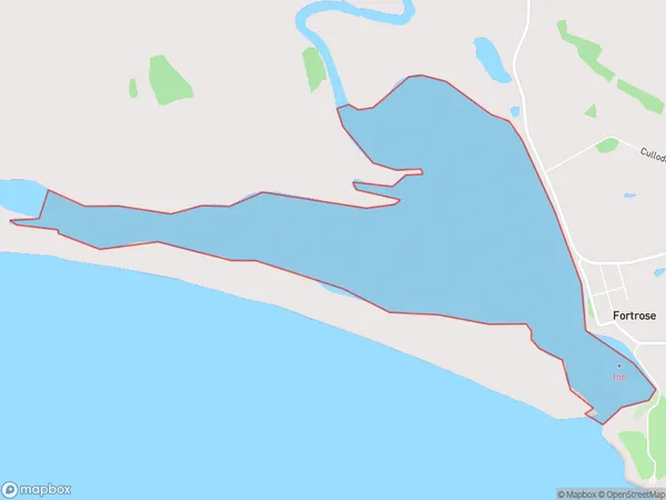
0 people live in Toetoes Harbour, Brighton, NZToetoes Harbour Suburb Area Map (Polygon)
Toetoes Harbour Introduction
Toetoes Harbour is a small harbor located in Otago, New Zealand. It is situated at the southern end of the Otago Peninsula and is known for its scenic views and peaceful atmosphere. The harbor is surrounded by rugged cliffs and is home to a variety of marine species, including seals and penguins. Visitors can enjoy walking trails, fishing, and kayaking in the area, and there are also several accommodation options available, including a lodge and a campground.Region
Major City
Suburb Name
Toetoes HarbourToetoes Harbour Area Map (Street)
Local Authority
Southland DistrictFull Address
Toetoes Harbour, Southland District,Address Type
Coastal BayToetoes Harbour Suburb Map (Satellite)
Country
Main Region in AU
OtagoToetoes Harbour Region Map
Coordinates
0,0 (latitude/longitude)Distances
The distance from Toetoes Harbour, , Southland District to NZ Top 10 Cities