Toe Cove Area, Toe Cove Postcode & Map in Toe Cove
Toe Cove Area, Toe Cove Postcode & Map in Toe Cove, Southland District, New Zealand
Toe Cove, Southland District, New Zealand
Toe Cove Area (estimated)
0.6 square kilometersToe Cove Population (estimated)
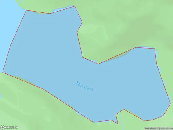
0 people live in Toe Cove, Southland, NZToe Cove Suburb Area Map (Polygon)
Toe Cove Introduction
Toe Cove is a small settlement in Southland, New Zealand. It is located on the southern coast of the South Island, approximately 30 kilometers south of Invercargill. The settlement is surrounded by stunning coastal scenery, including rugged cliffs, sandy beaches, and crystal-clear waters. Toe Cove is a popular destination for tourists and outdoor enthusiasts, who enjoy activities such as fishing, hiking, and kayaking. The area is also home to a number of historic buildings, including the Toe Cove Hotel, which was built in the 1880s.Region
Suburb Name
Toe CoveOther Name(s)
Foot Arm, Nancy SoundToe Cove Area Map (Street)

Local Authority
Southland DistrictFull Address
Toe Cove, Southland District, New ZealandAddress Type
Coastal BayToe Cove Suburb Map (Satellite)

Country
Main Region in AU
SouthlandToe Cove Region Map

Coordinates
-45.1745597,167.141665248683 (latitude/longitude)Distances
The distance from Toe Cove, , Southland District to NZ Top 10 Cities